Hi, everyone!
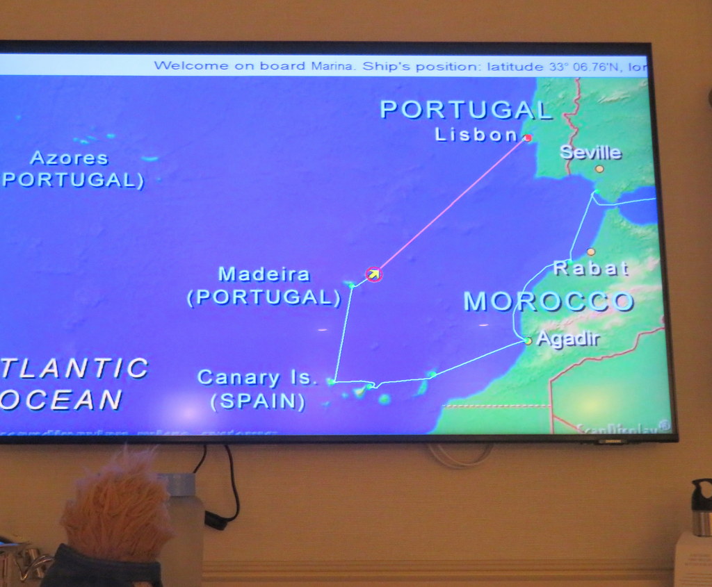
After we visited two ports in Morocco, we sailed west to visit some Spanish and Portuguese islands! During the days when Spain and Portugal had worldwide trading empires, these were the ports of departure and return.
Most of these islands had native populations before Europeans arrived, but very little is left to tell their stories. The geological stories of the land are older and better known. Most of those stories involve volcanoes!
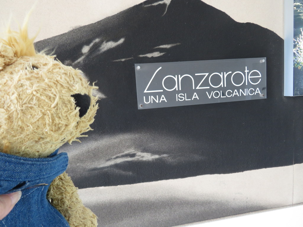
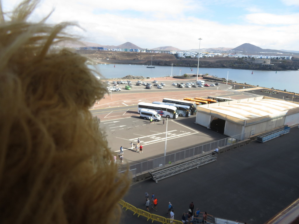
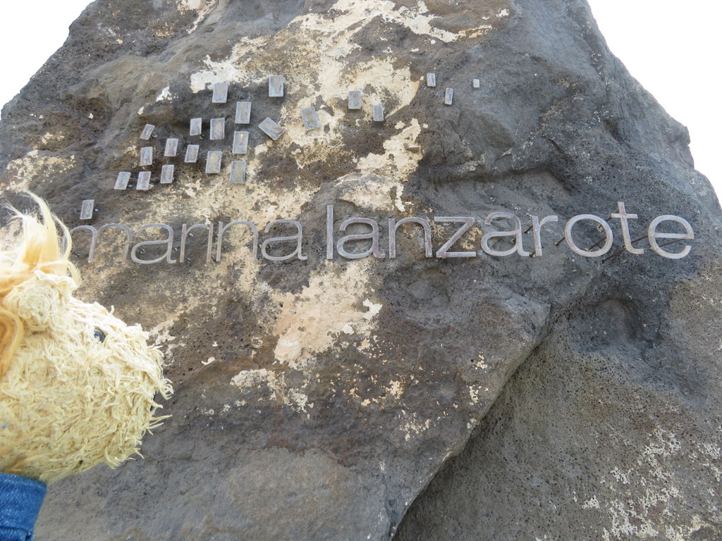
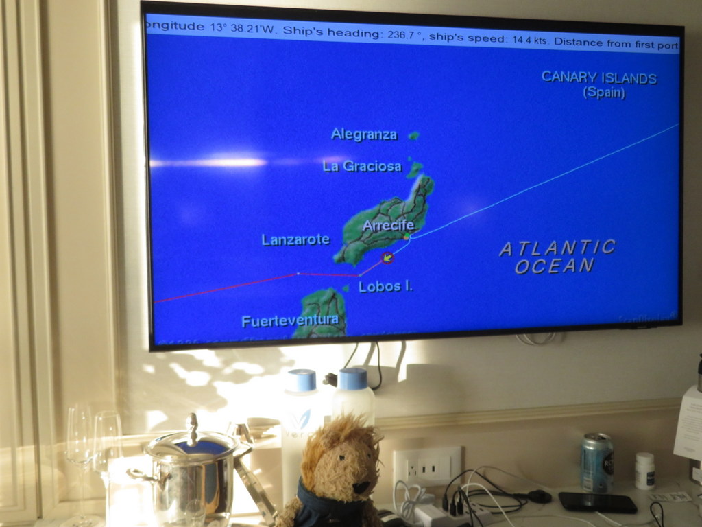
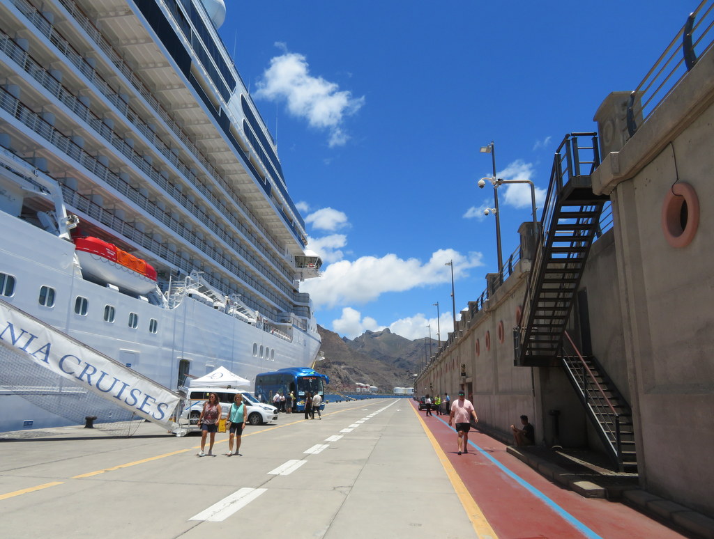
The first three islands we visited were part of the Spanish Canary Islands group. Last Saturday we arrived at Arrecife, a port on Lanzarote. Lanzarote has lots of volcano cones, but it doesn’t have high mountains. That means the winds pass right over the island without dropping any moisture. In Lanzarote, our guide told us it only rains once every four years.
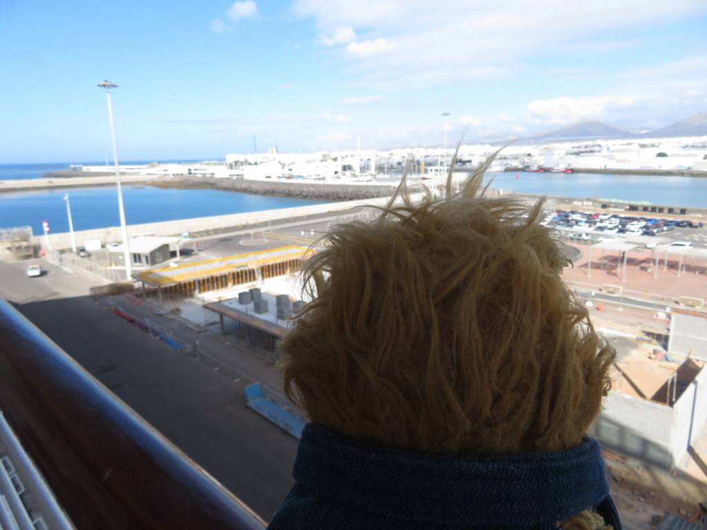
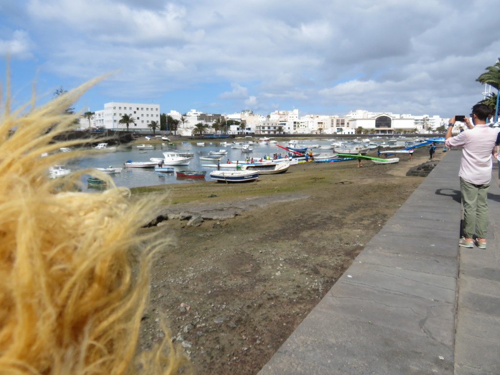
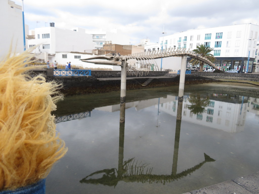
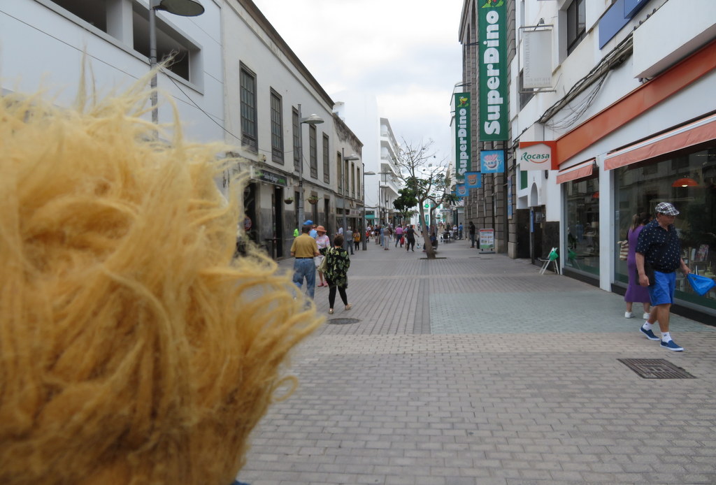
We were taking an afternoon tour, so Grandma and I walked into Arrecife before lunch to buy postcards and stamps. The volcanic rock formations in the water act like a reef to protect the harbor! The tide was out, so some of the small boats were sitting in mud. There’s a whale skeleton to remind people to protect marine life and a shopping street named after me!
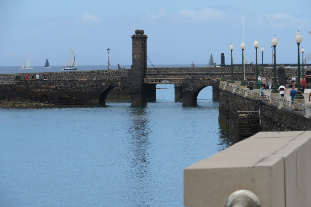
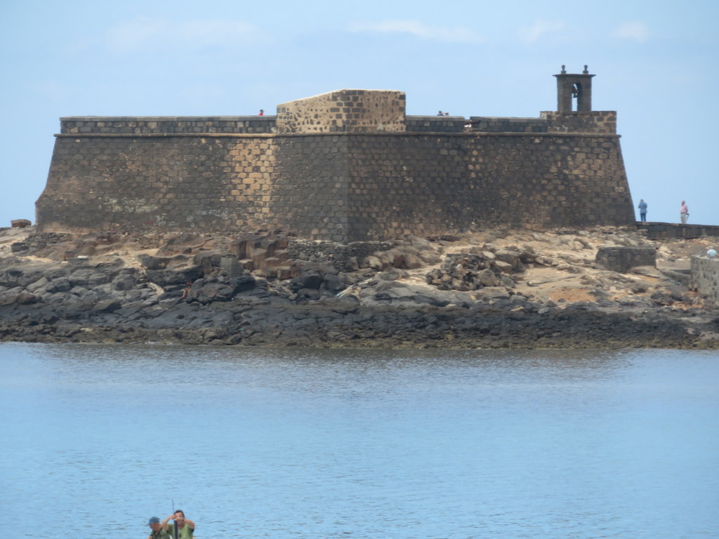
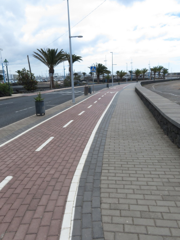
Arrecife has been home to Spanish fishermen since the 15th century. There’s a causeway from the shore to a fort protecting the harbor that has a drawbridge from those early days. Grandma and I had to remember that red pavement on sidewalks means bicycle lane!
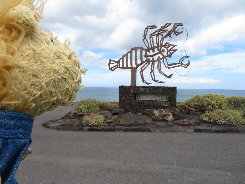
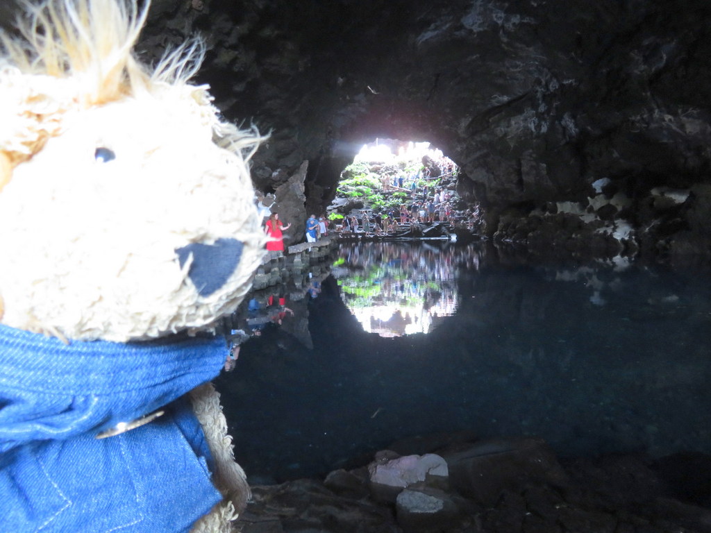
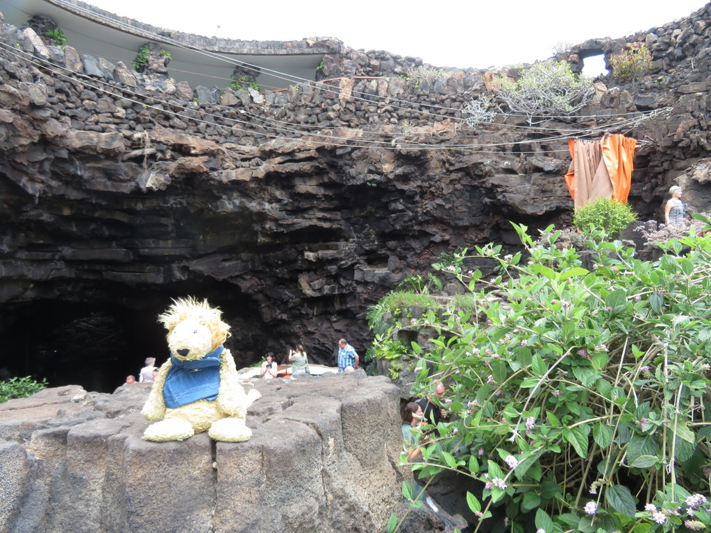
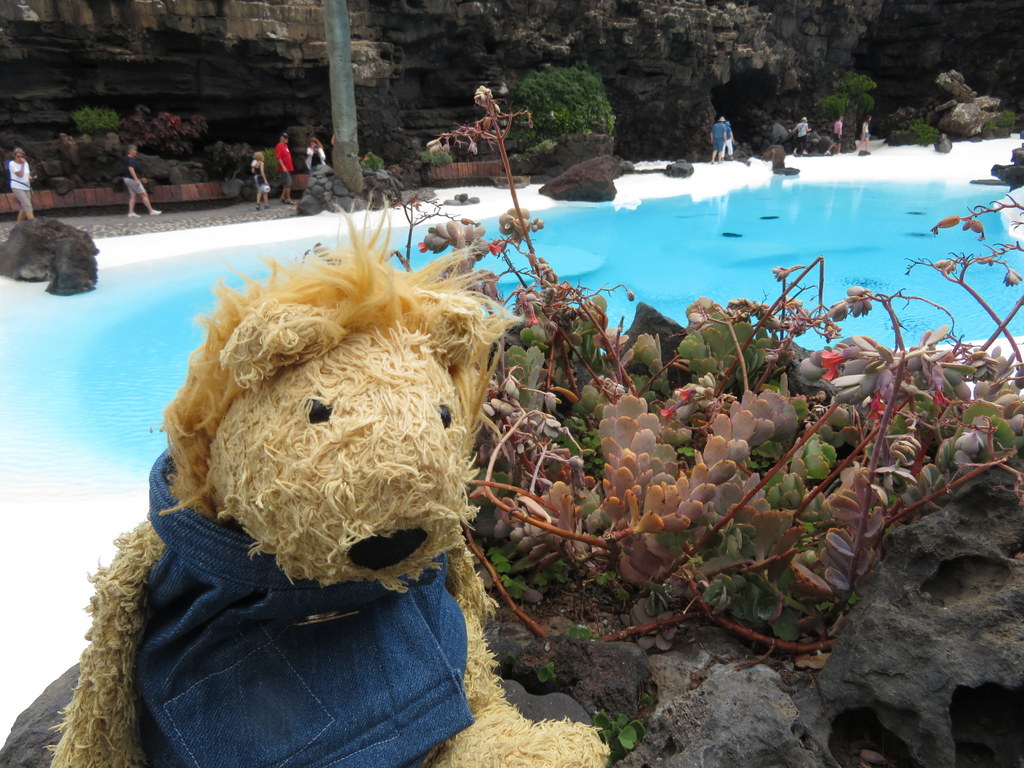
It’s very hard to make a living in a place that is mostly volcanic desert with no source of fresh water! Tourism is one important source of local income. The leaders of Lanzarote asked an architect and artist living abroad to come home to design tourist attractions. Cesar Manrique took on the challenge of creating interesting places to visit out of the local landscape. When we went on our tour, our first stop was Jameo del Agua, a Manrique design. We couldn’t tell from the entrance that we were entering a cafe built into a lava tube!
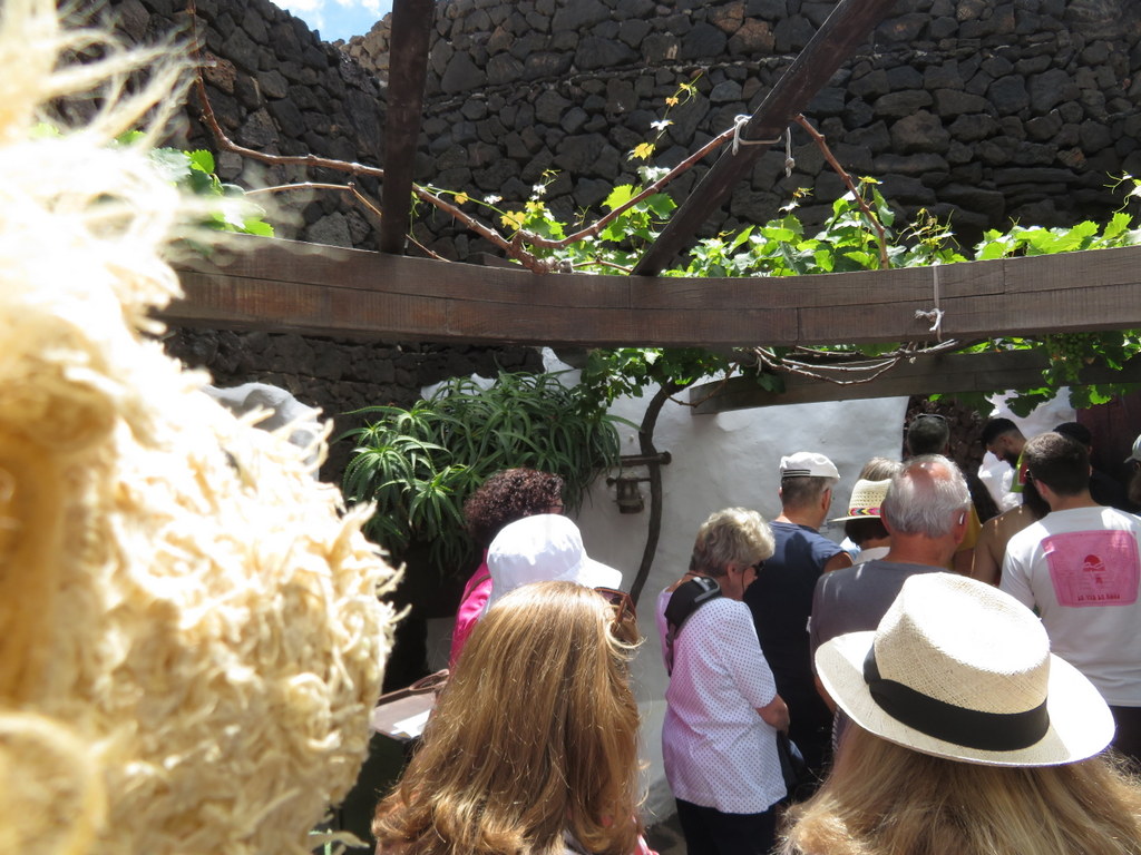
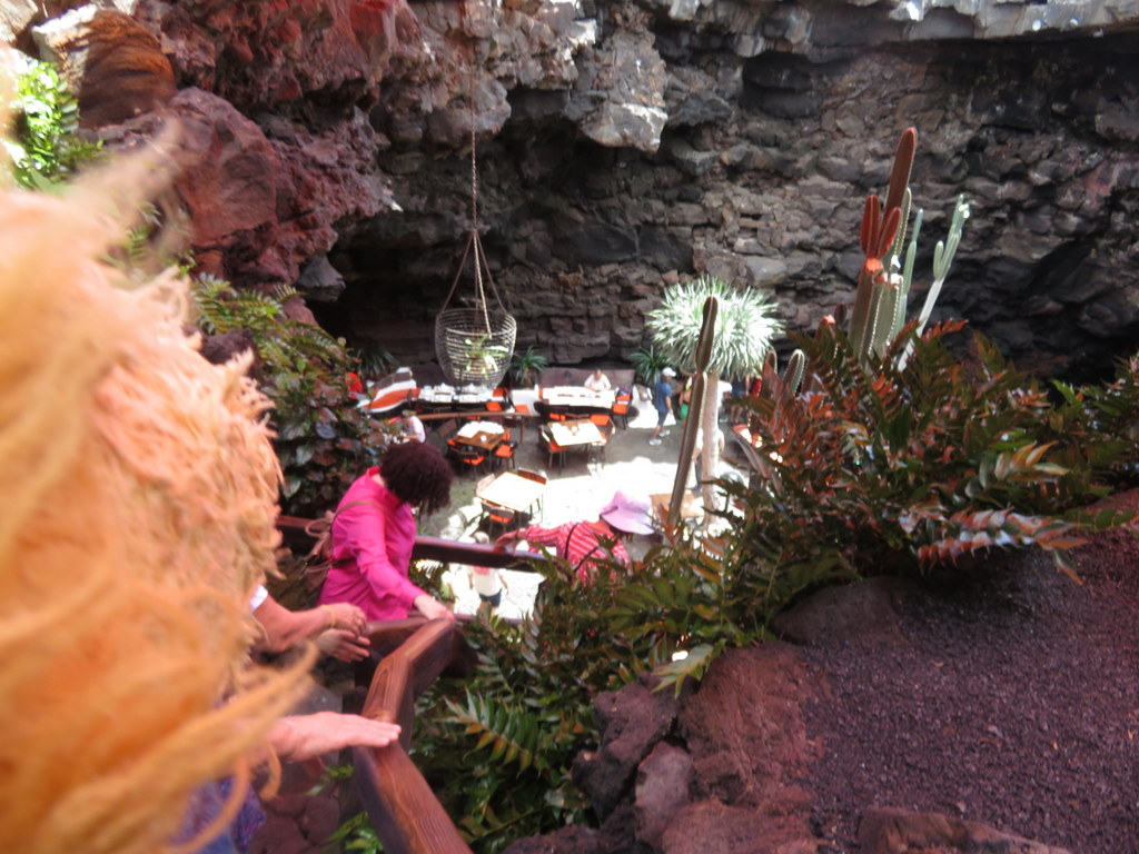
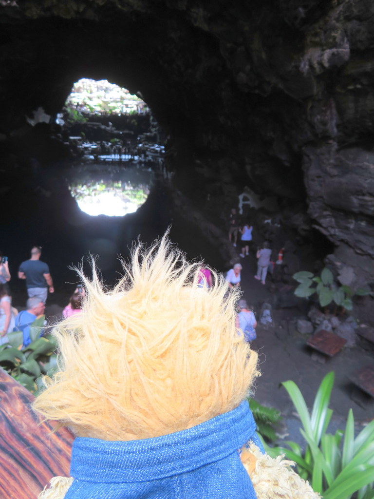
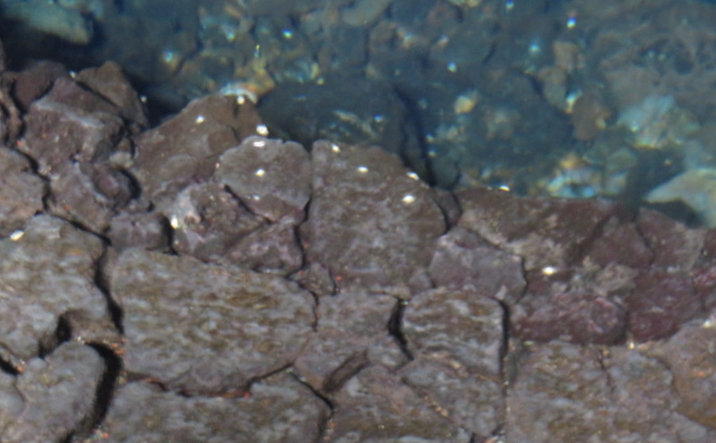
Lava tubes happen when flowing lava drains out of lava that is cooling off around it. The lava tube at Jameos del Agua stretches out into the sea, which is higher now than it was back during the volcanic eruptions. Part of the lava tube collapsed and is open to sunshine. Part of it is a tunnel where water collected. That part of the tunnel has crabs who don’t have sight or color. We walked from one side of the pool to the other.
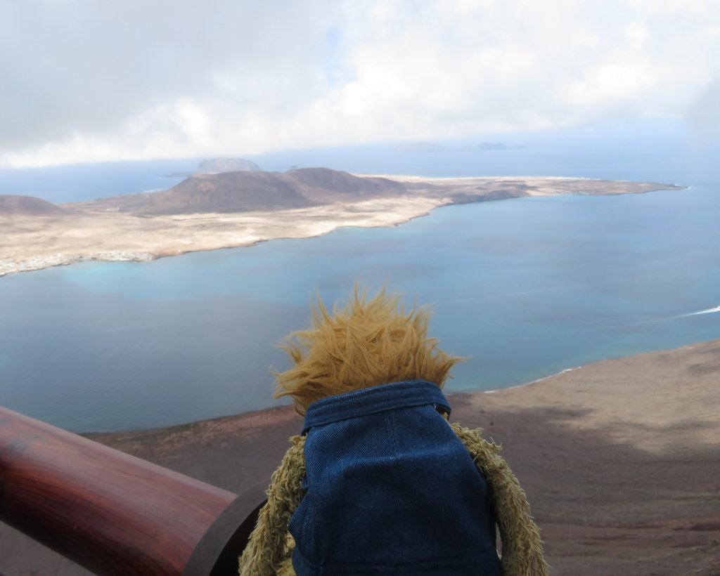
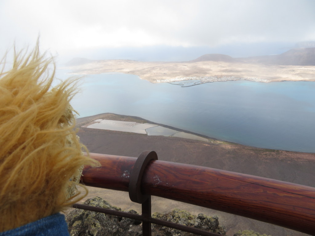
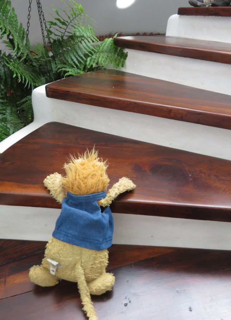
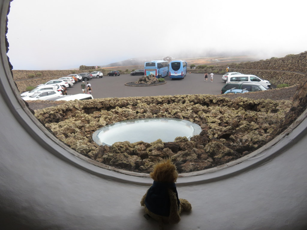
Next, we went to another Cesar Manrique attraction, Mirador del Rio. This is an overlook on a high ridge at the very north end of Lanzarote. The island of LaGraciosa is visible there! Manrique’s building has three levels of viewing balconies facing the sea and round windows facing the mountains.
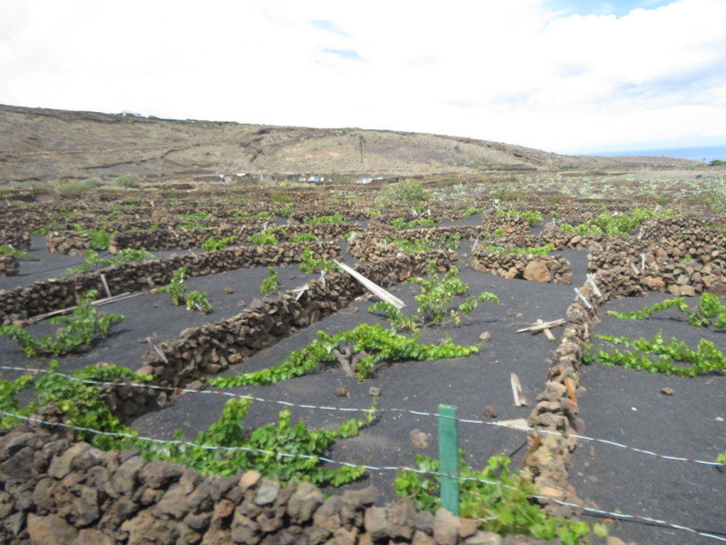
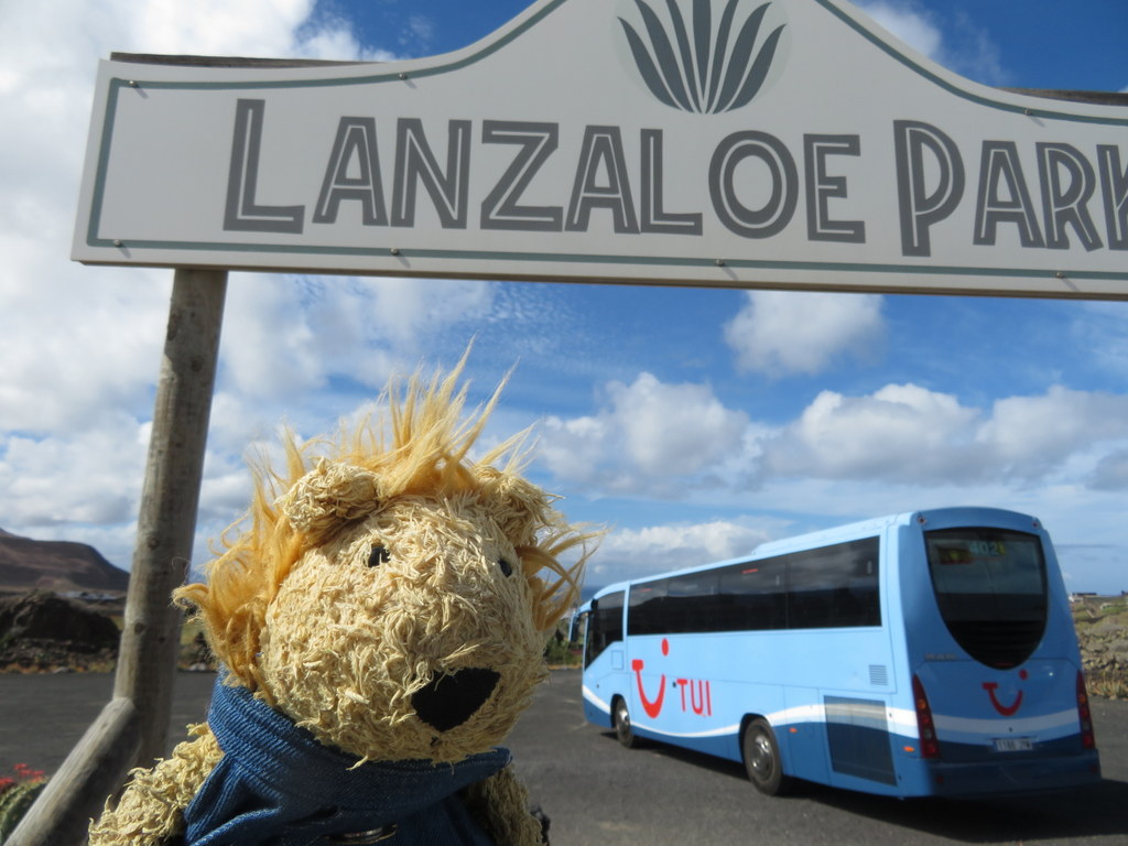
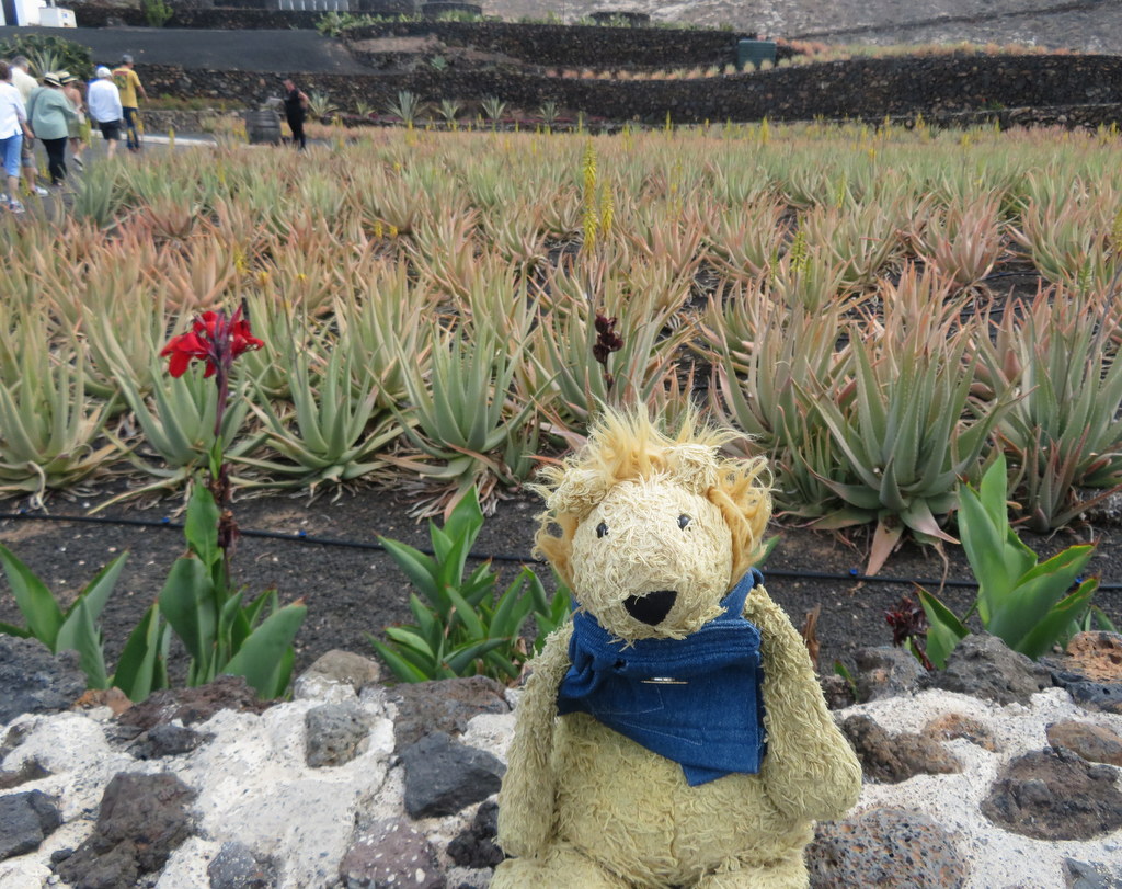
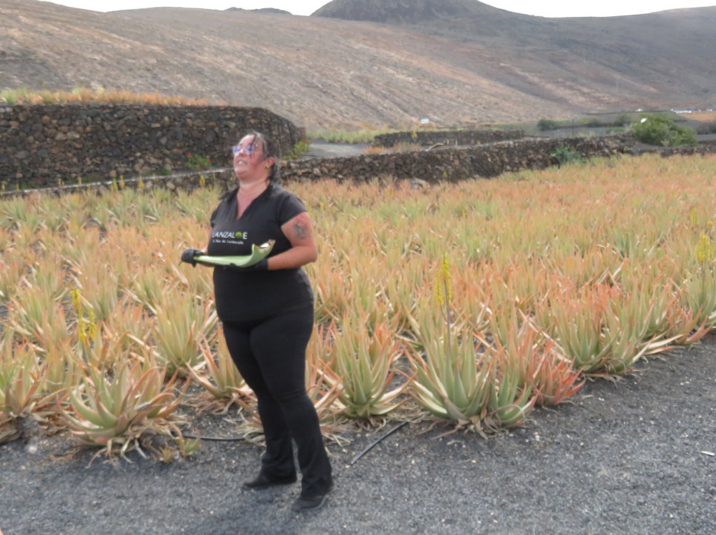
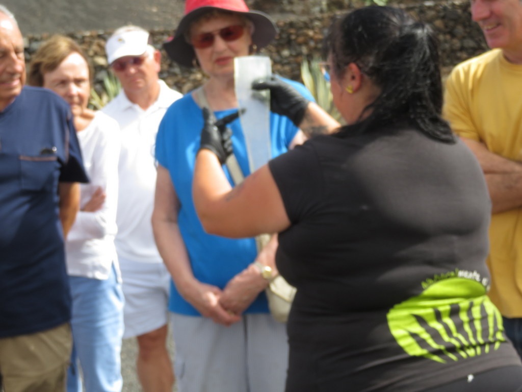
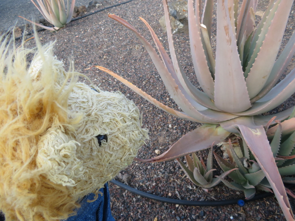
Our last tour stop was at Lanzaloe Park, a farm that grows aloe! Because the trade winds blow most of the time over Lanzarote, any crop needs to be low and protected behind walls built of lava rock. Aloe is a succulent, meaning it does not need a lot of water, and it’s naturally short. Our host explained what part of the aloe leaf provides the slime that helps to heal damaged skin.
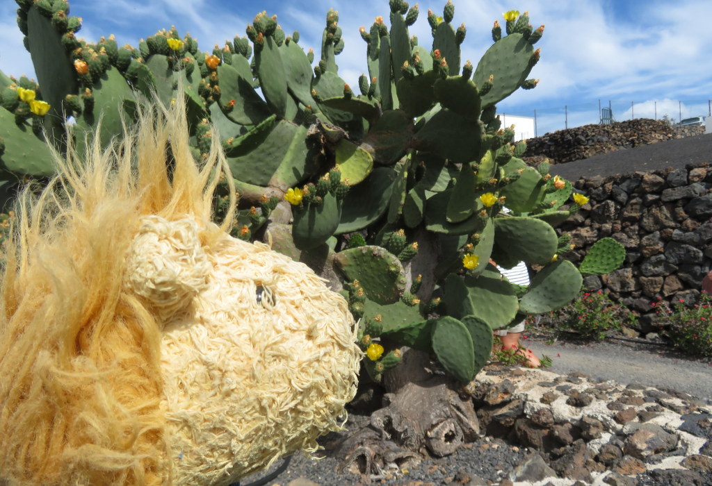
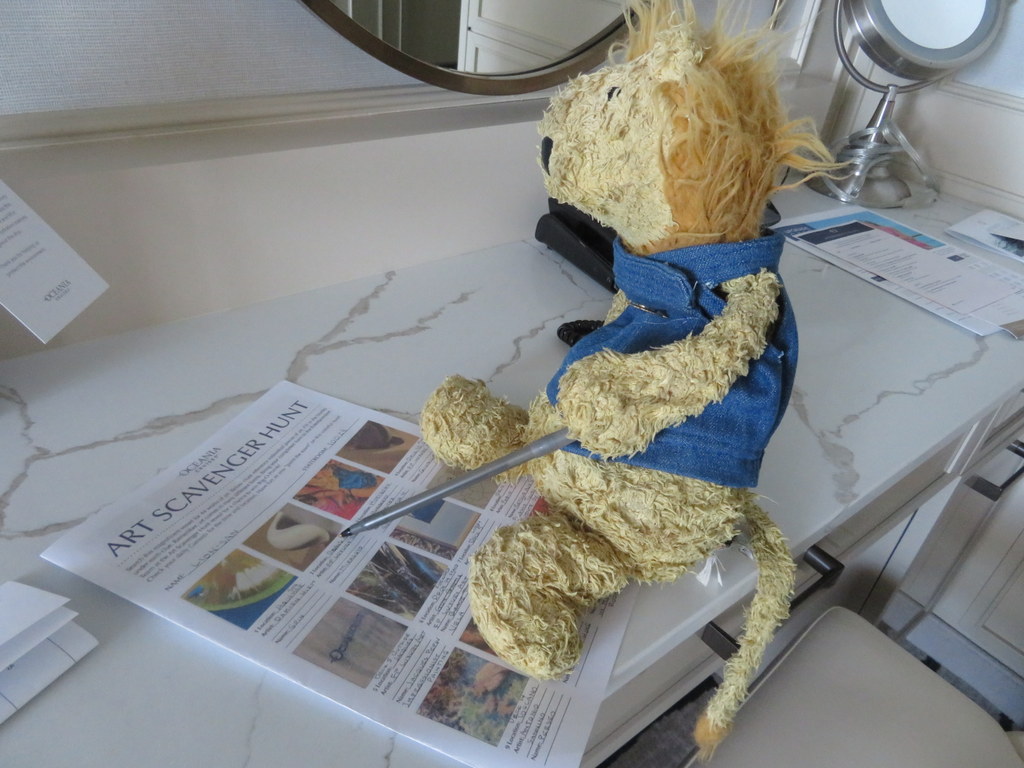
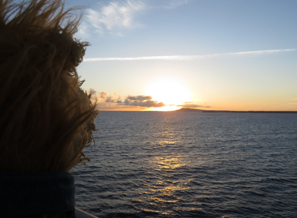
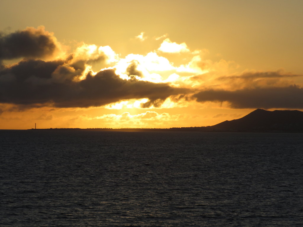
We got back from our tour too late to go to tea, so I decided to work on my own entry for the Art Scavenger Hunt contest. We had a pretty sunset just before my bedtime.
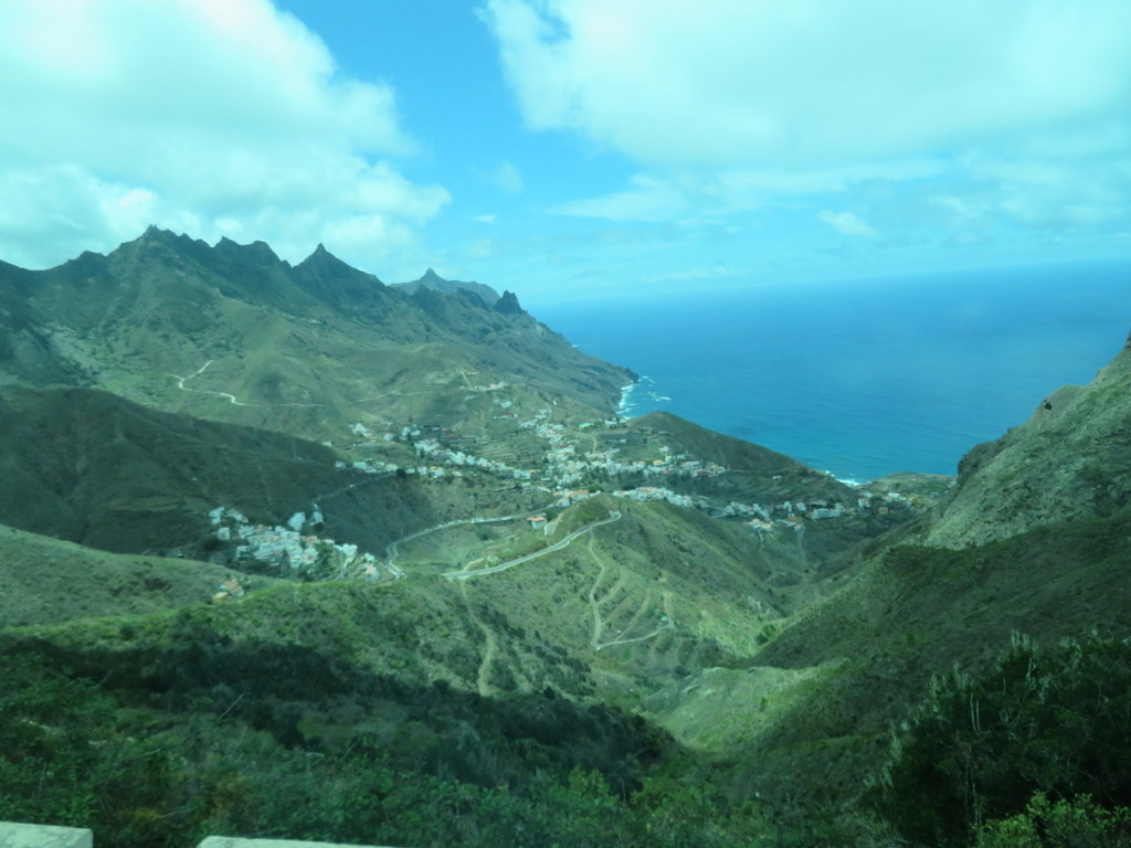
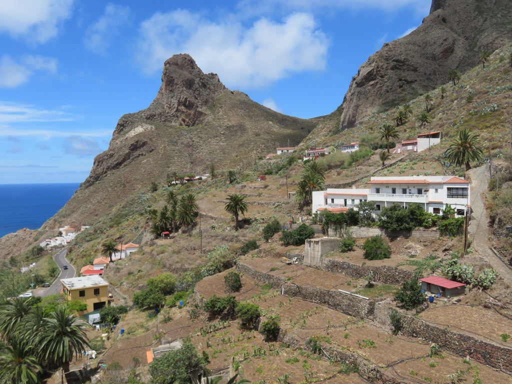
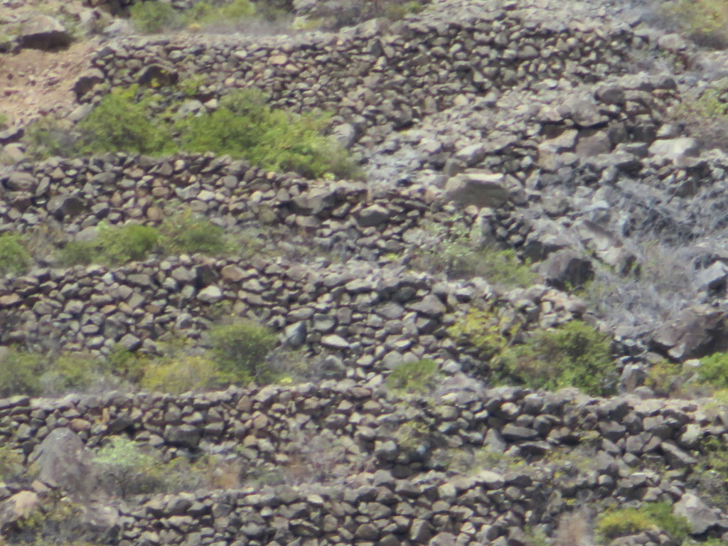
On Sunday morning, we were in Tenerife, the largest Canary Island, at the port of Santa Cruz de la Tenerife. Tenerife has some very steep mountains! The first part of our tour took us to Taganana, a fishing village that could only be reached by sea until the roads were built. Our bus driver was very good at getting around all the switchbacks! Our guide told us that Taganana was so remote that the Spaniards didn’t even know native people lived there when they first took control of the island! Tenerife gets more rain than Lanzarote because it has higher mountains to stop the clouds. Everything is terraced to stop erosion, even the sides of steep rocks!
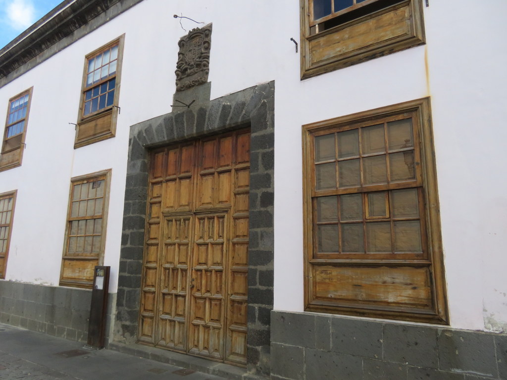
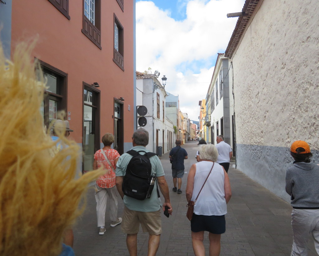
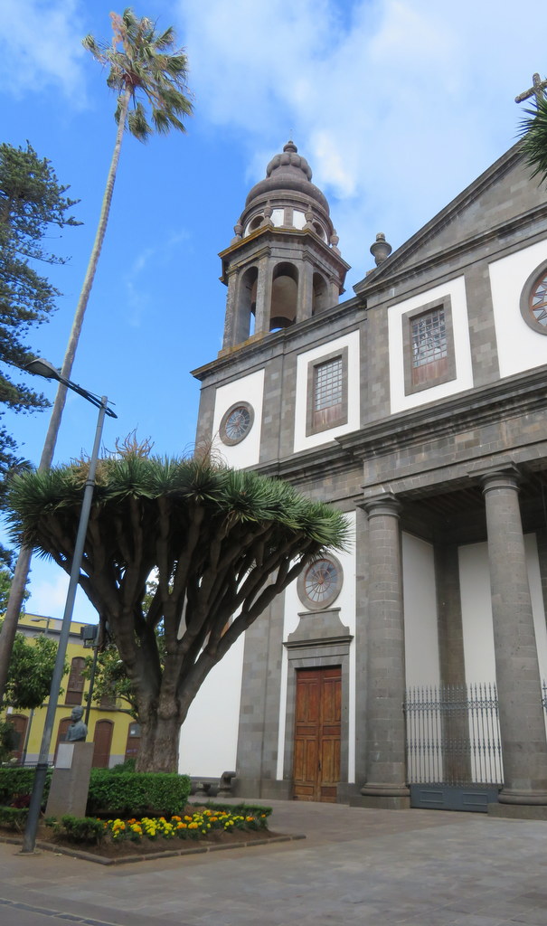
From Taganana, we drove to San Cristobal de La Laguna, the original Spanish capital of the Canary Islands. The old city there is a UNESCO World Heritage site. The Spaniards built the oldest part in the 1500s uphill from a native holy place on a lake. The streets were oriented to compass directions and various religious orders built their quarters at the ends of those streets. La Laguna served as the model for cities the Spaniards built in Central and South America.
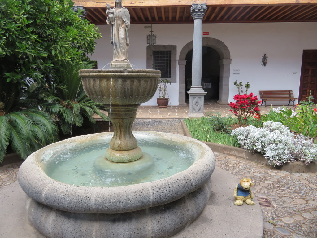
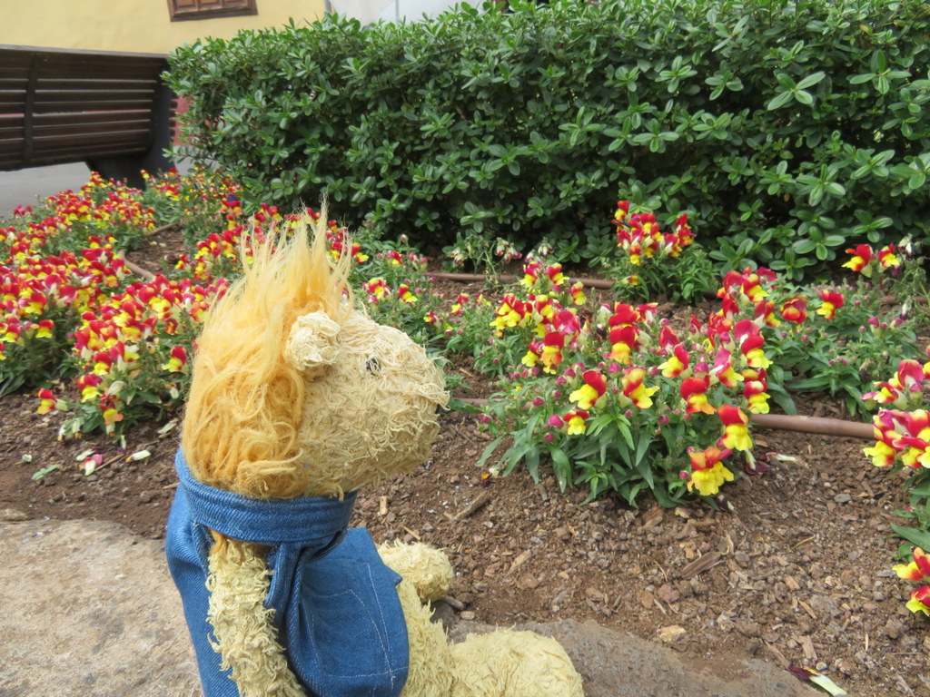
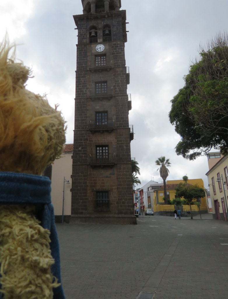
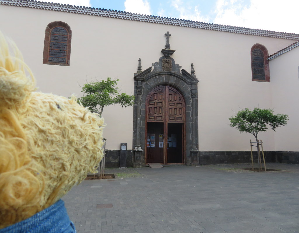
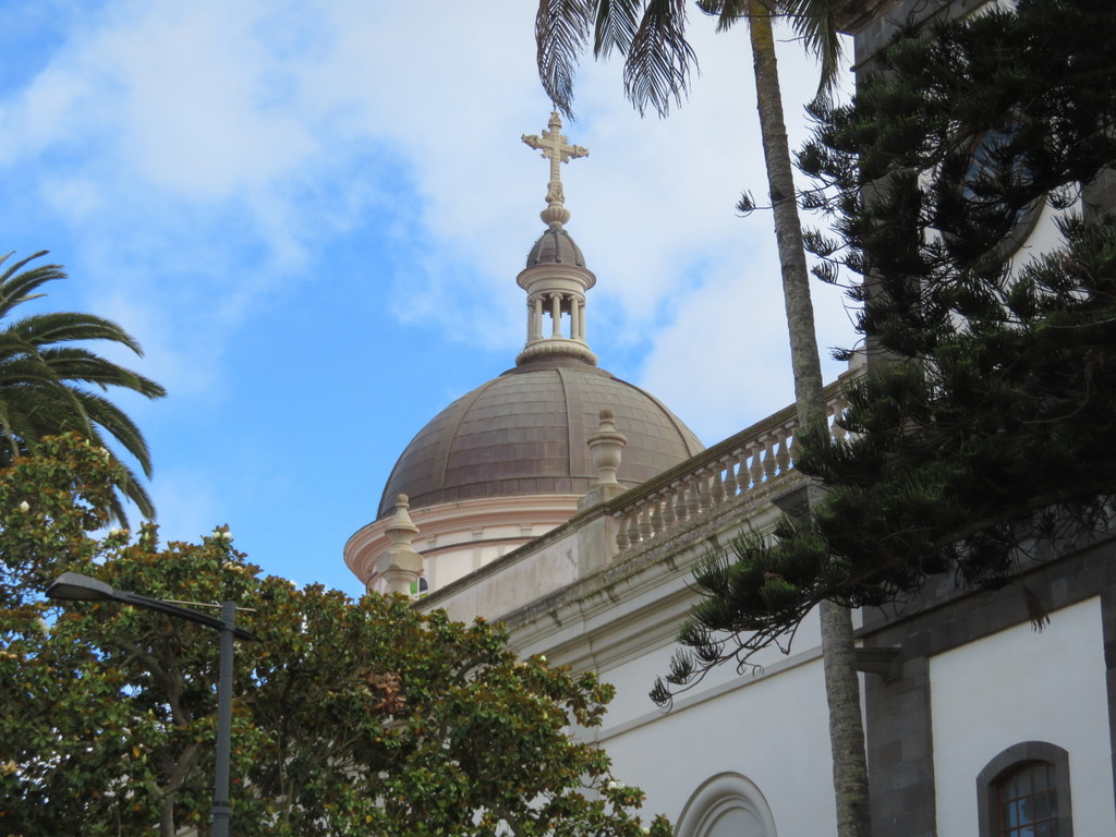
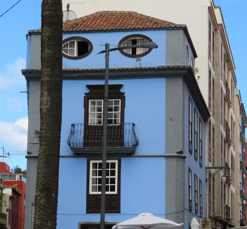
The “new” cathedral was built about one hundred years ago. The blue house that faces it on the plaza looks like a cat to me!
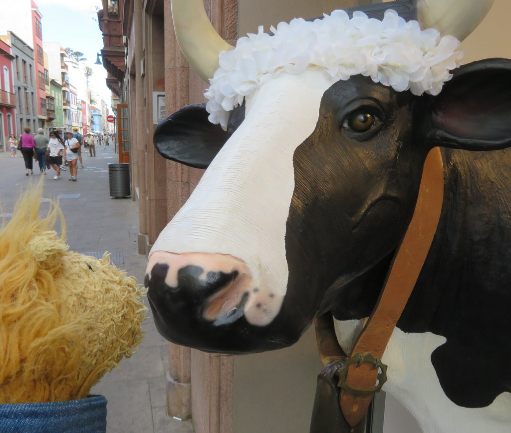
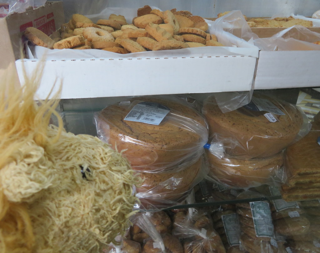
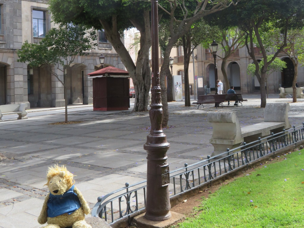
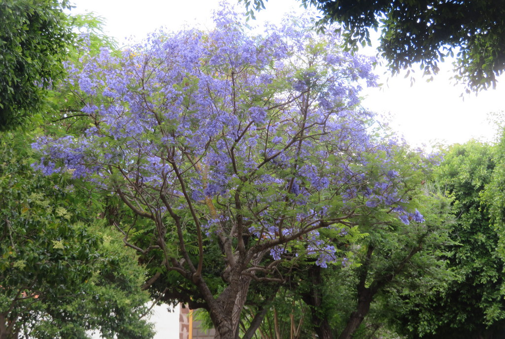
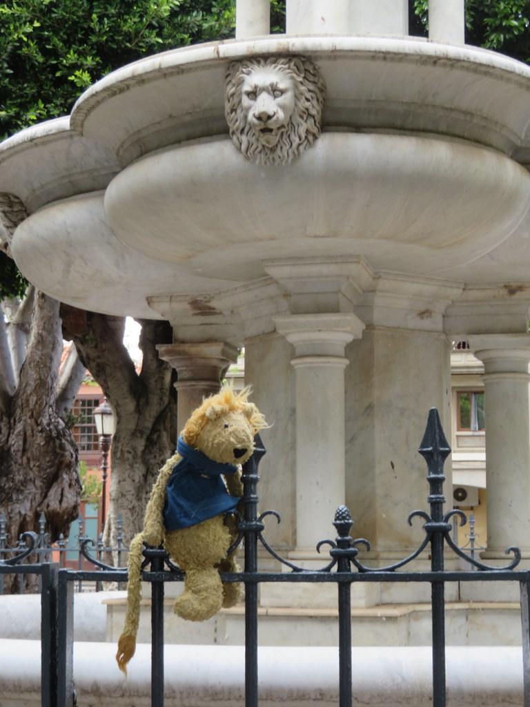
As we walked around La Laguna old town, I made friends with another cow and saw some local varieties of cookies in the bakery. At the square in front of town hall, there was a pretty jacaranda tree in bloom. I was happy to see the fountain had a statue of one of my cousins!
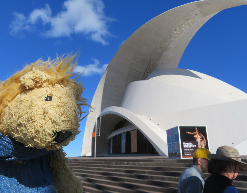
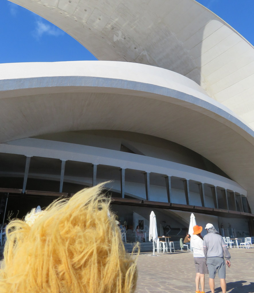
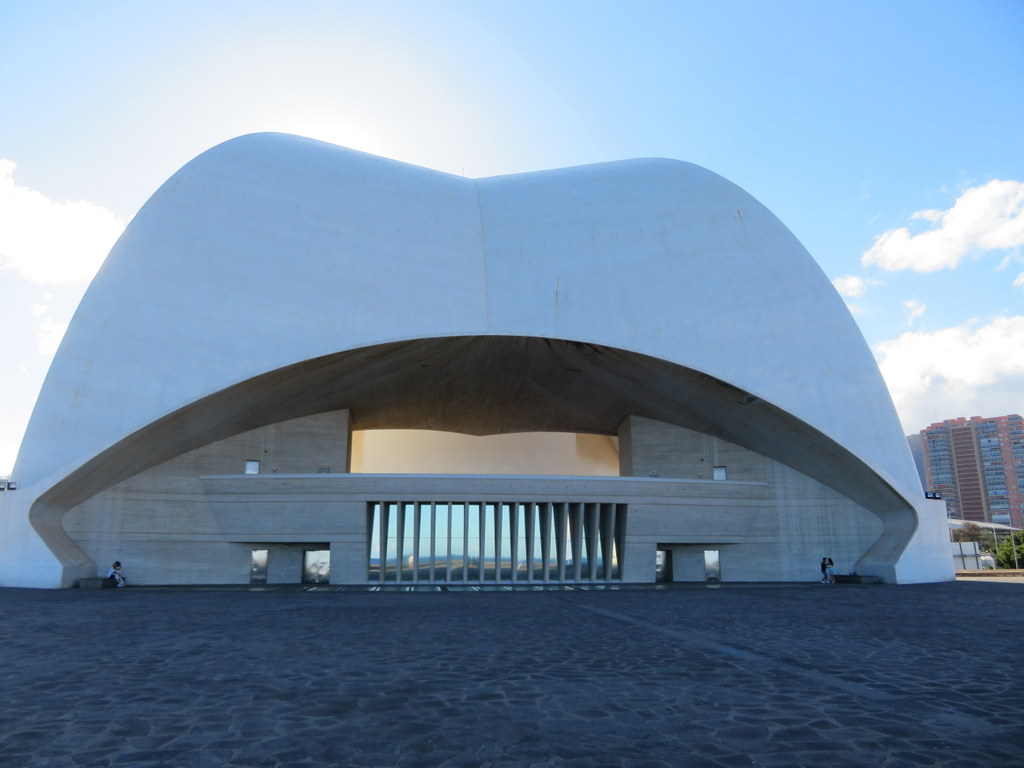
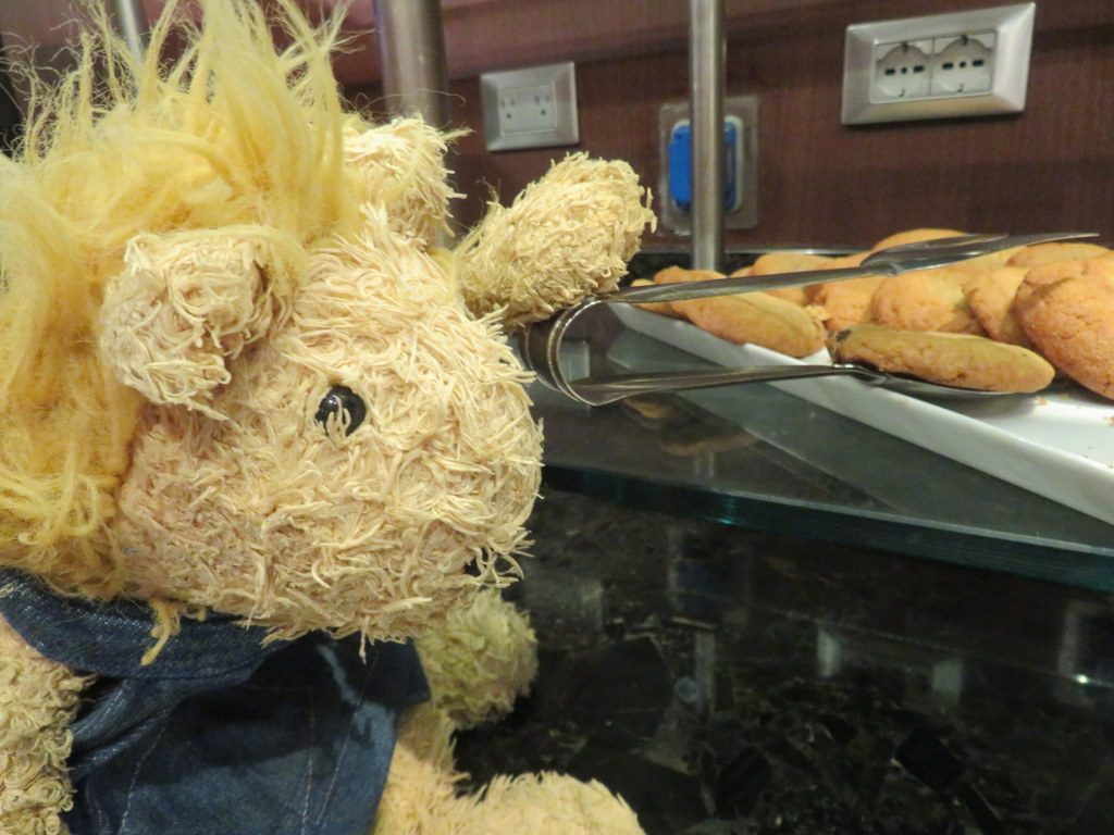
The modern town of La Laguna has grown into a suburb of Santa Cruz de Tenerife. They even have an IKEA! Our last tour stop was close to MS Marina — at the Tenerife opera house. That reminded me of the Sydney Opera House, except the Sydney Opera House is interesting to see from all sides! We got back to MS Marina too late for tea, so Grandma let me get a cookie from the Executive Lounge.
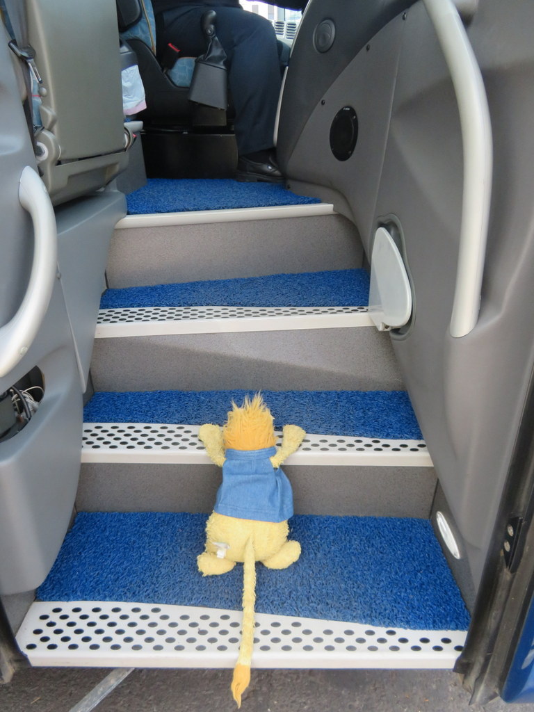
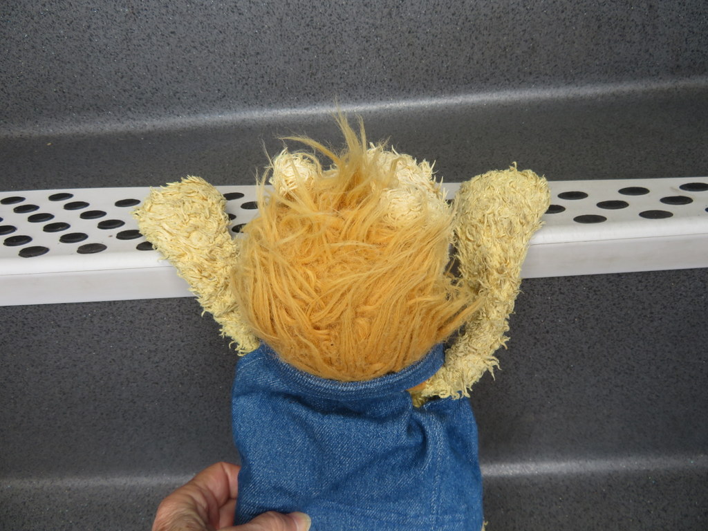
In the morning, we were in another Santa Cruz — Santa Cruz de La Palma! We had an all-day tour and I needed some help to climb the steps of this tour bus!
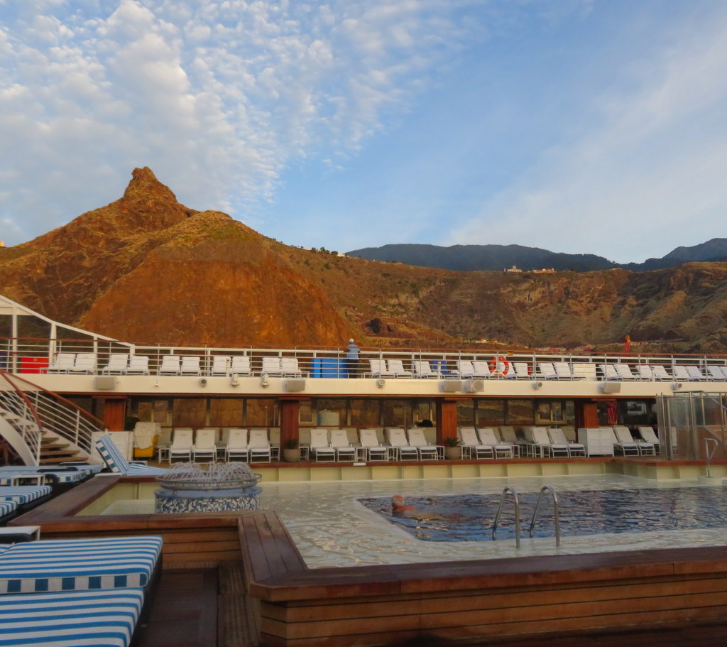
We were touring the west side of La Palma, and we started in the north, at San Andres! Our guide explained that the north part of La Palma was much older than the south part. Volcanos are still erupting in the south part! One erupted just a few years ago and covered an area where lots of people live with lava! In the north, the tall mountains catch water from the clouds. That provides enough water to grow bananas, and they are everywhere!
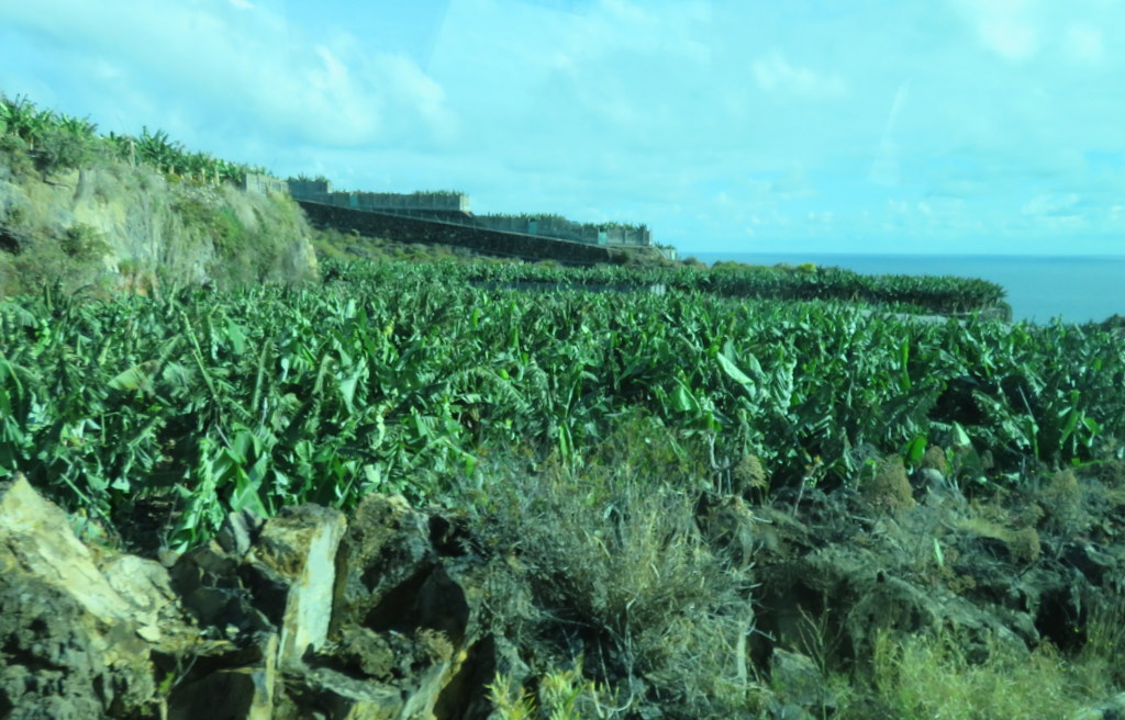
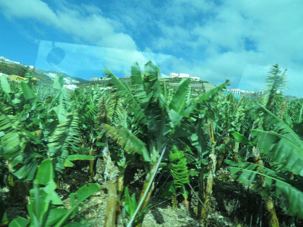
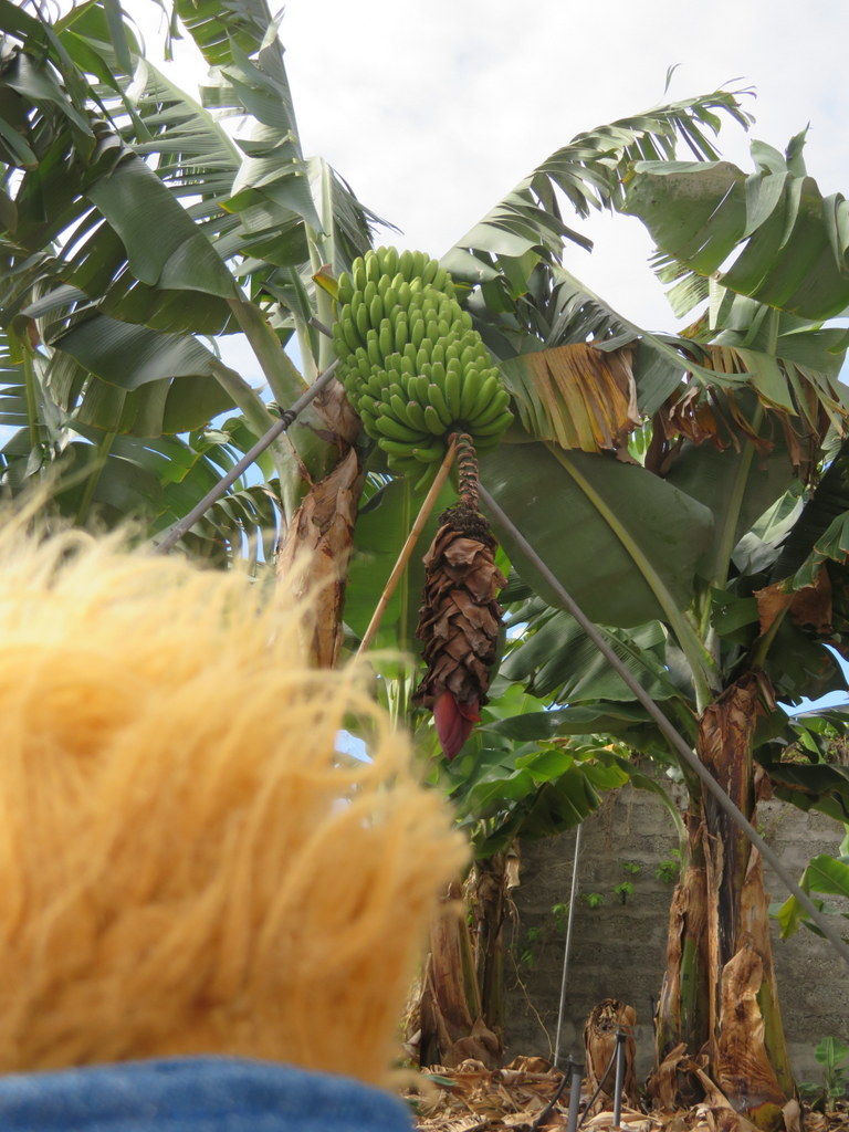
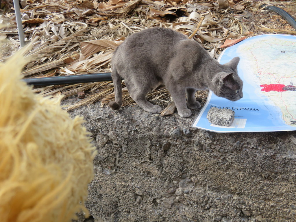
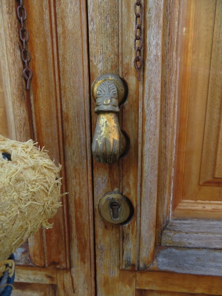
We visited the seaside town of San Andres. There was a pretty little square next to the church. One of the houses had a Fatima’s hand knocker!
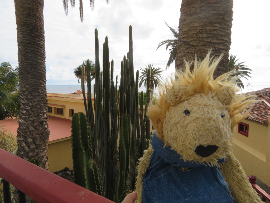
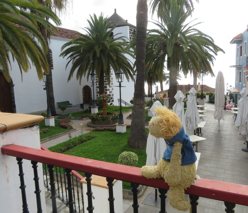
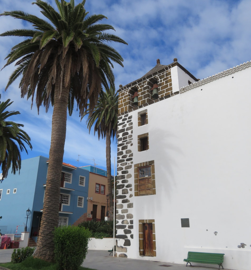
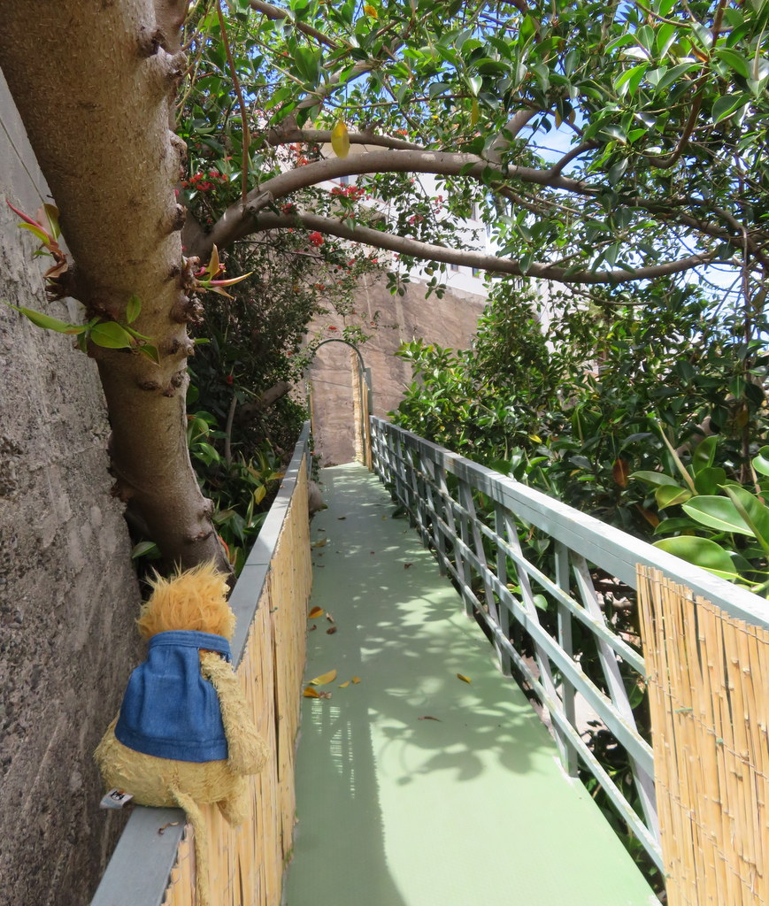
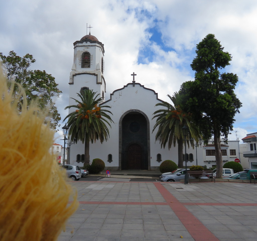
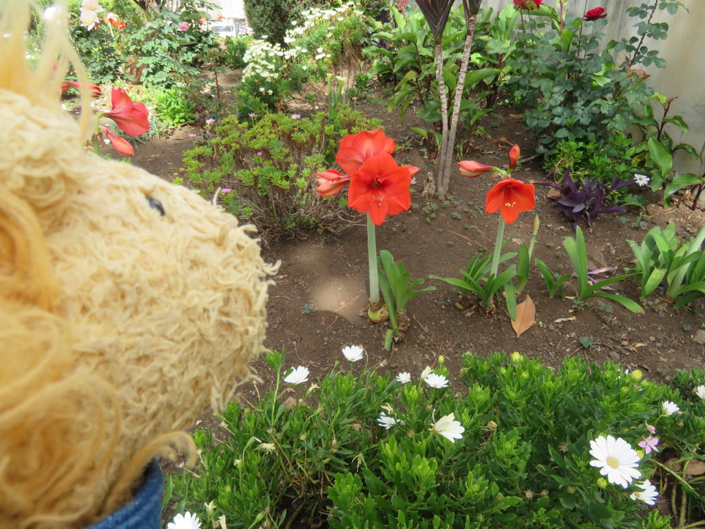
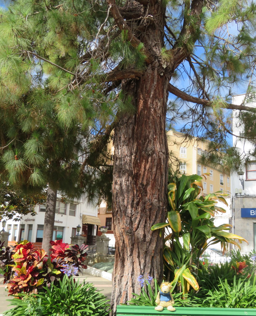
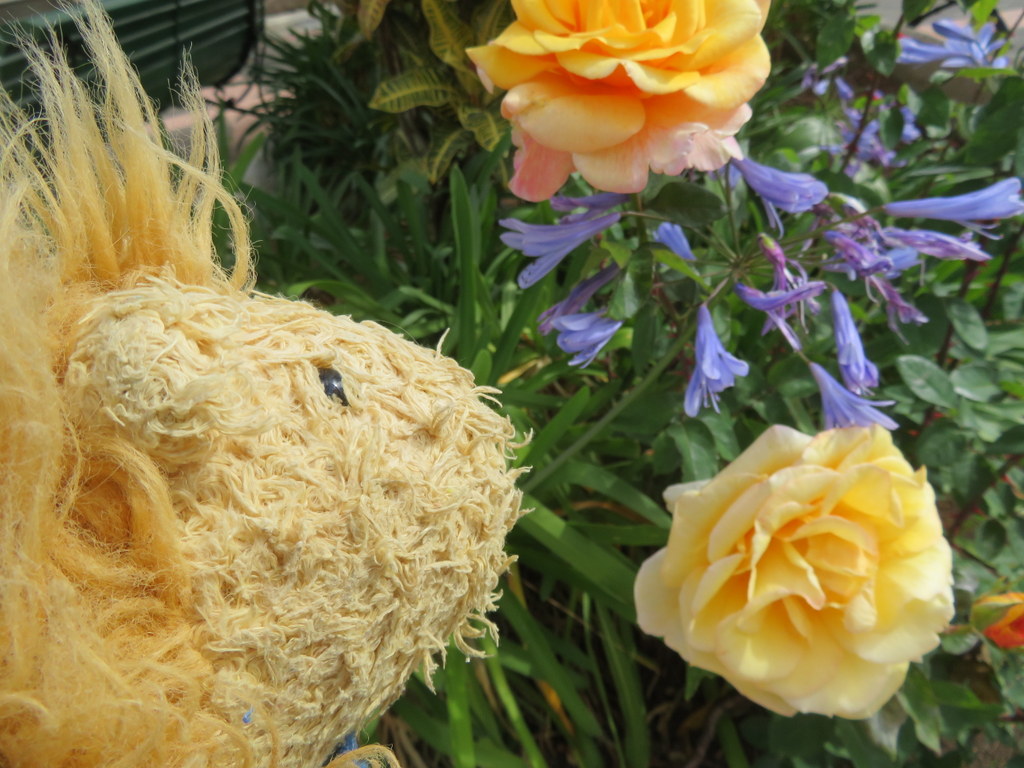
From San Andres, we drove uphill to Sauces. I could look down to the coast from there! There was a pretty church and a nice town square. I made friends with some amaryllis growing outside, a Canary Island pine tree, and some roses.
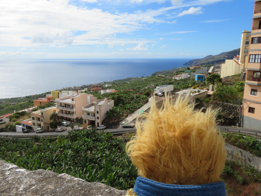
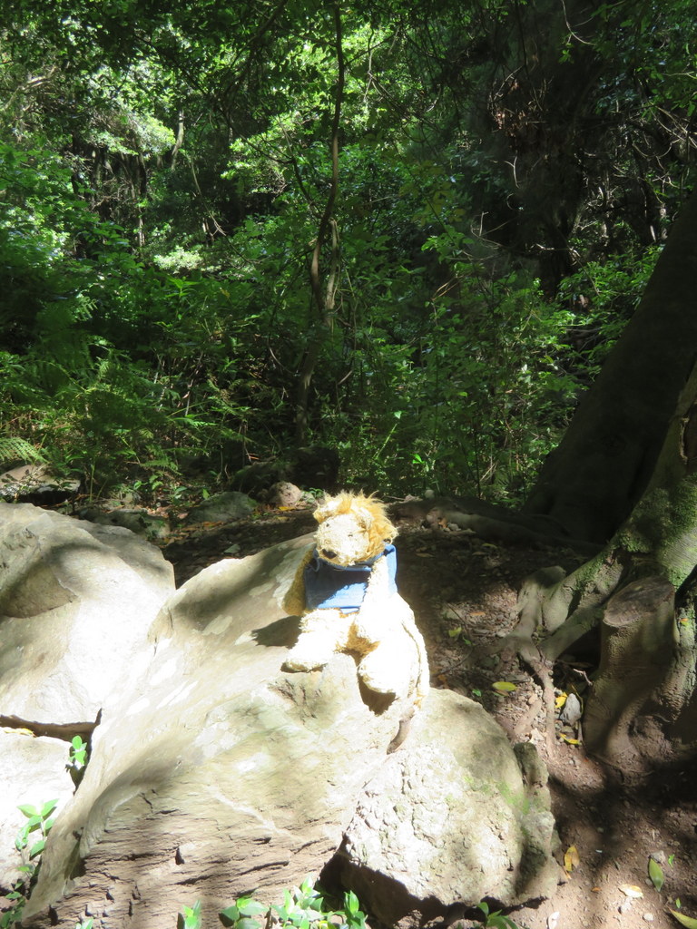
Our guide told us that there is rain forest on the higher slopes of the north part of the island. That’s where the amount of moisture and temperature are ideal for trees. The kinds of trees that grow there used to grow all over Europe. During the last ice age, the glaciers scraped all the forests away. Only the trees on the islands in the ocean were left! We took a walk in the rain forest at Cubo La Galga National Park. The trees were a little different, but the hike reminded me of some paths in northern California and New Zealand.
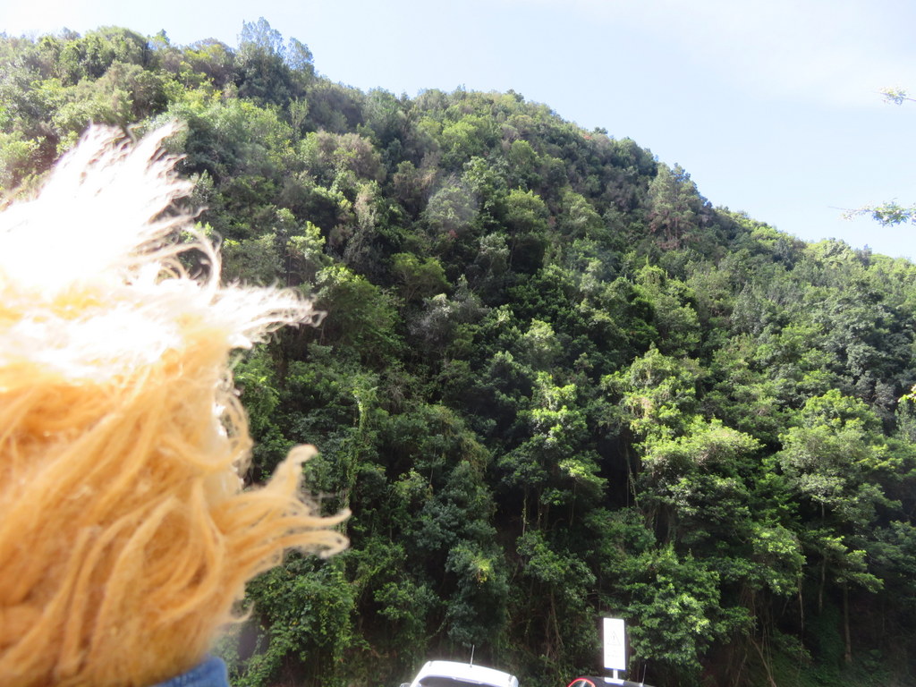
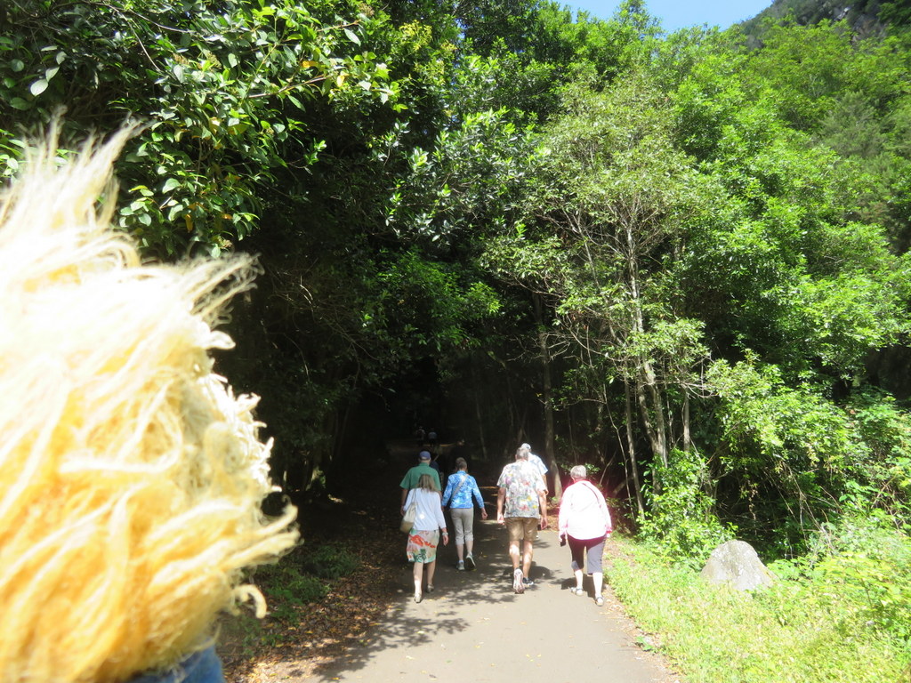
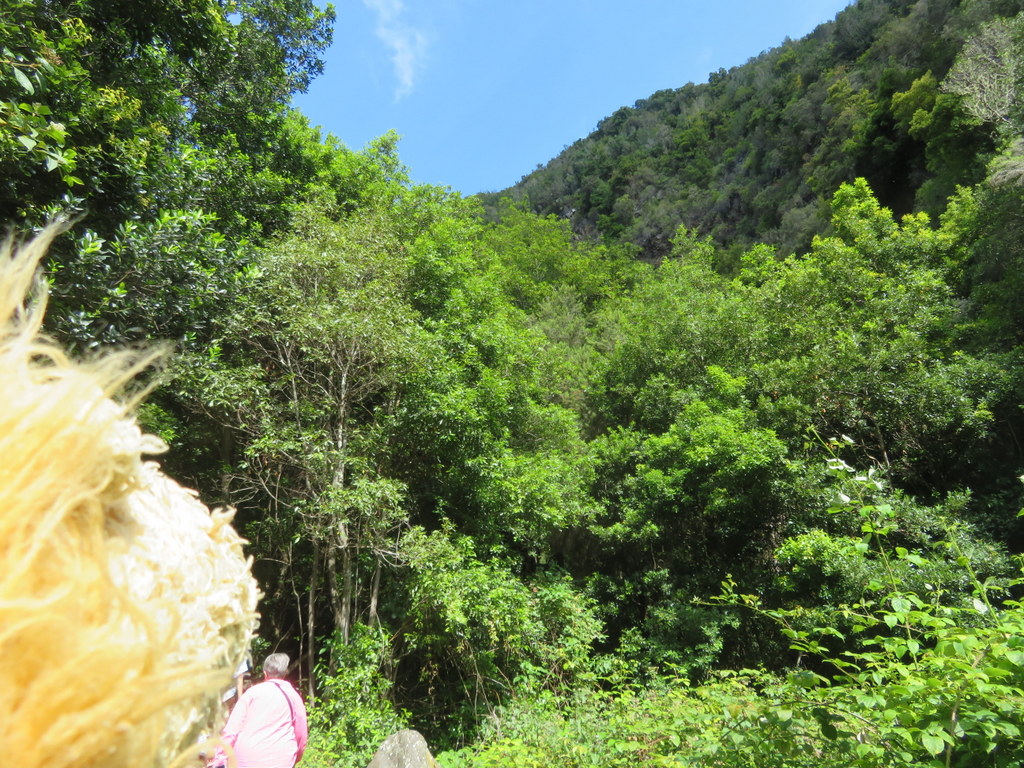
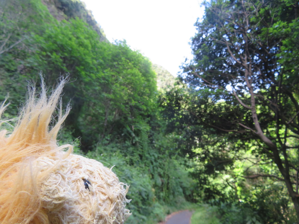
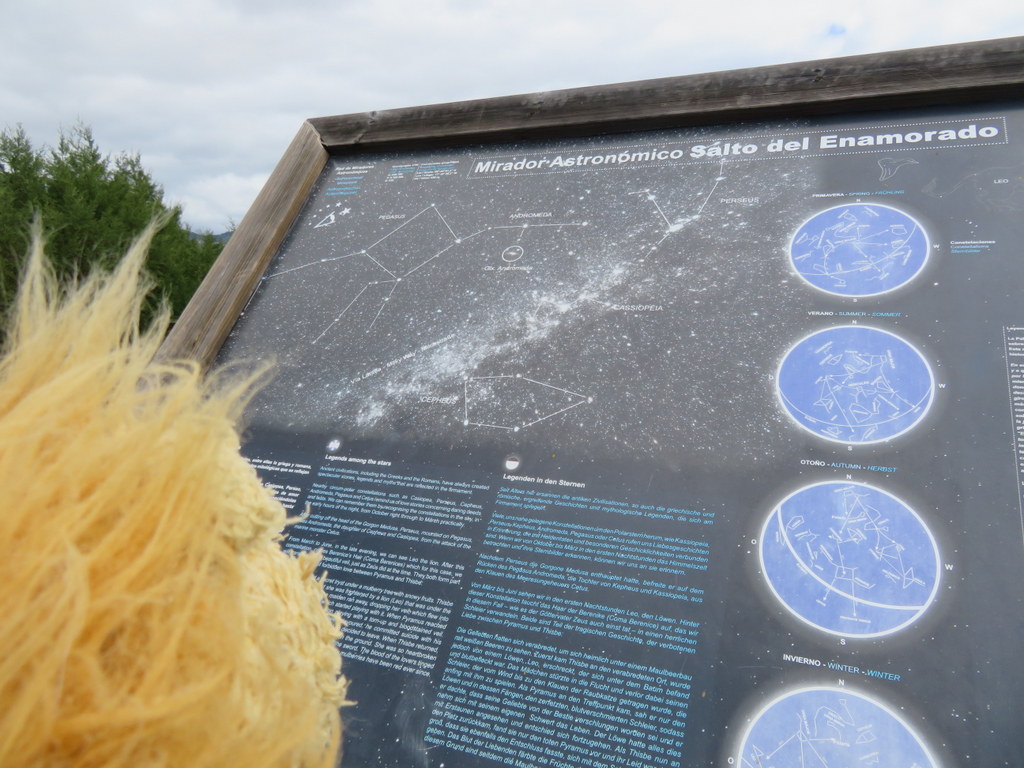
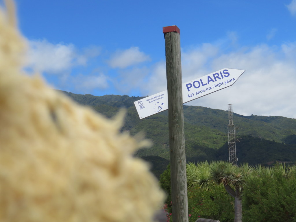
On our way south, we stopped at an overlook on the coast. There was a statue there illustrating a local legend about someone who jumped into the sea to prove his love. This part of La Palma is a dark sky preserve, so there were signs about astronomy, too!
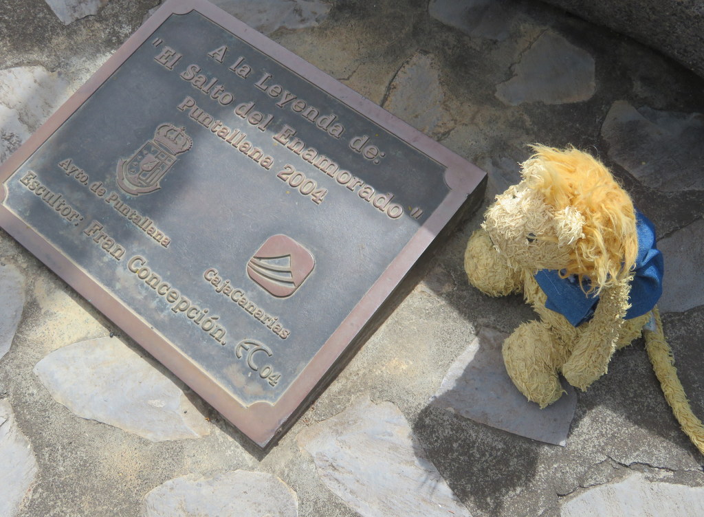
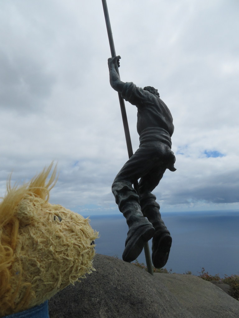
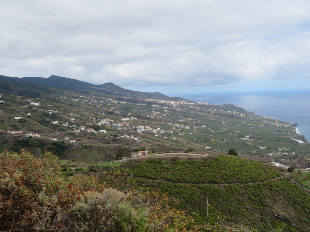
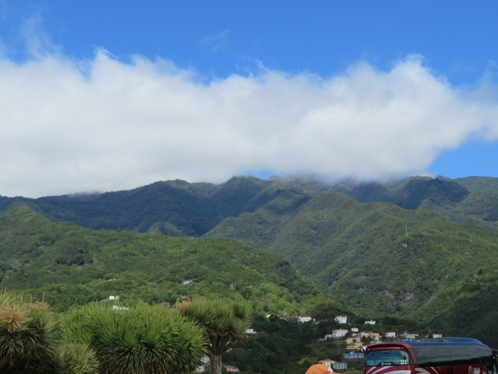
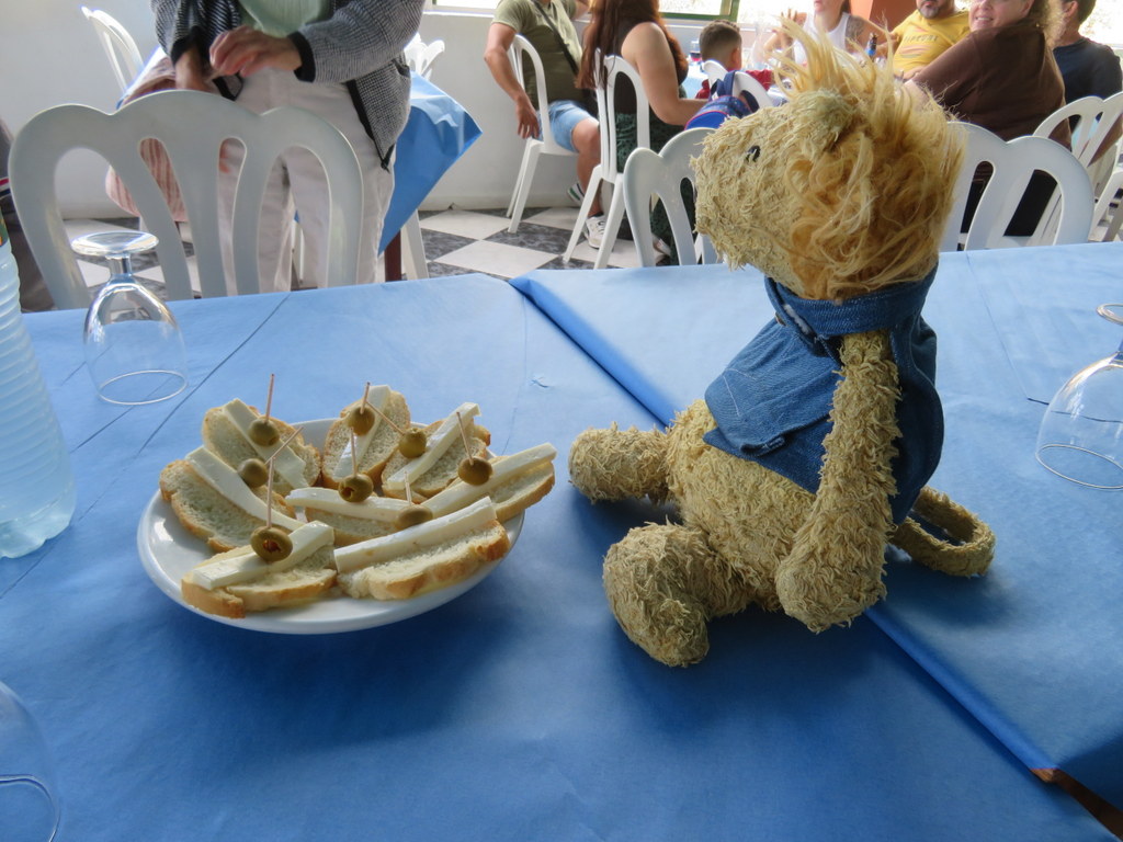
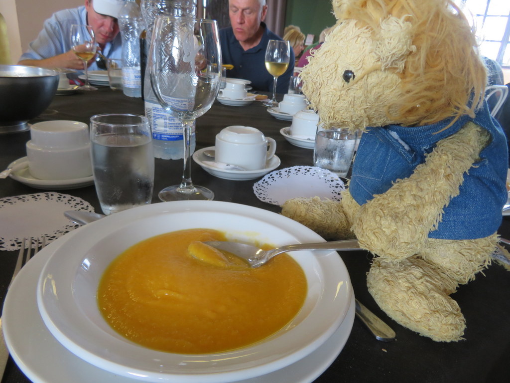
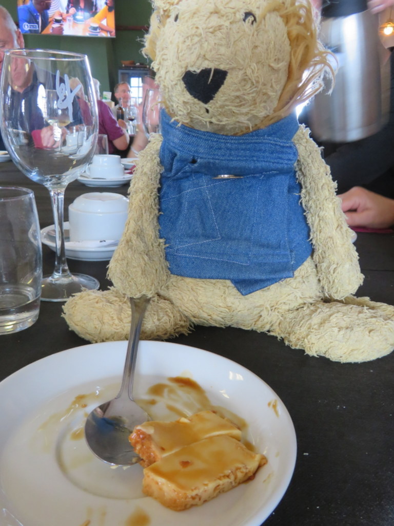
We stopped at a restaurant in our guide’s home town to have lunch. The pumpkin soup and flan were yummy! Grandma sat next to someone who was friends with Uncle Bill in high school!
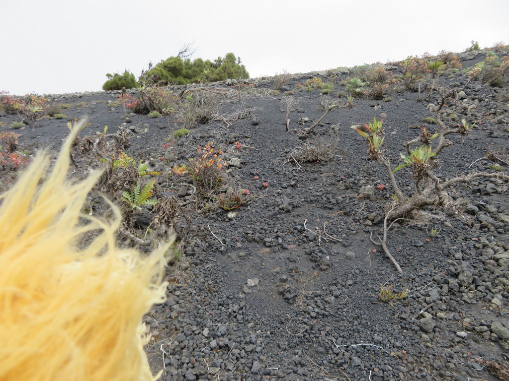
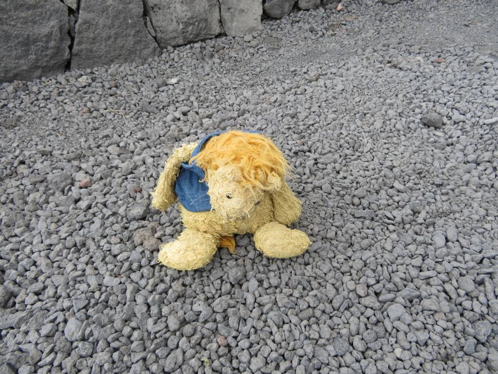
After lunch, we went to visit a volcano that last erupted about 350 years ago! It is part of a string of volcanoes all down the southern part of La Palma. There was a cinder path to walk around the edge of the crater. Grandma didn’t want to go all the way to the end because there were dropoffs on both sides of the path. I was fine with seeing the crater from the near part of the rim! There were Canary Island pines growing in the crater!
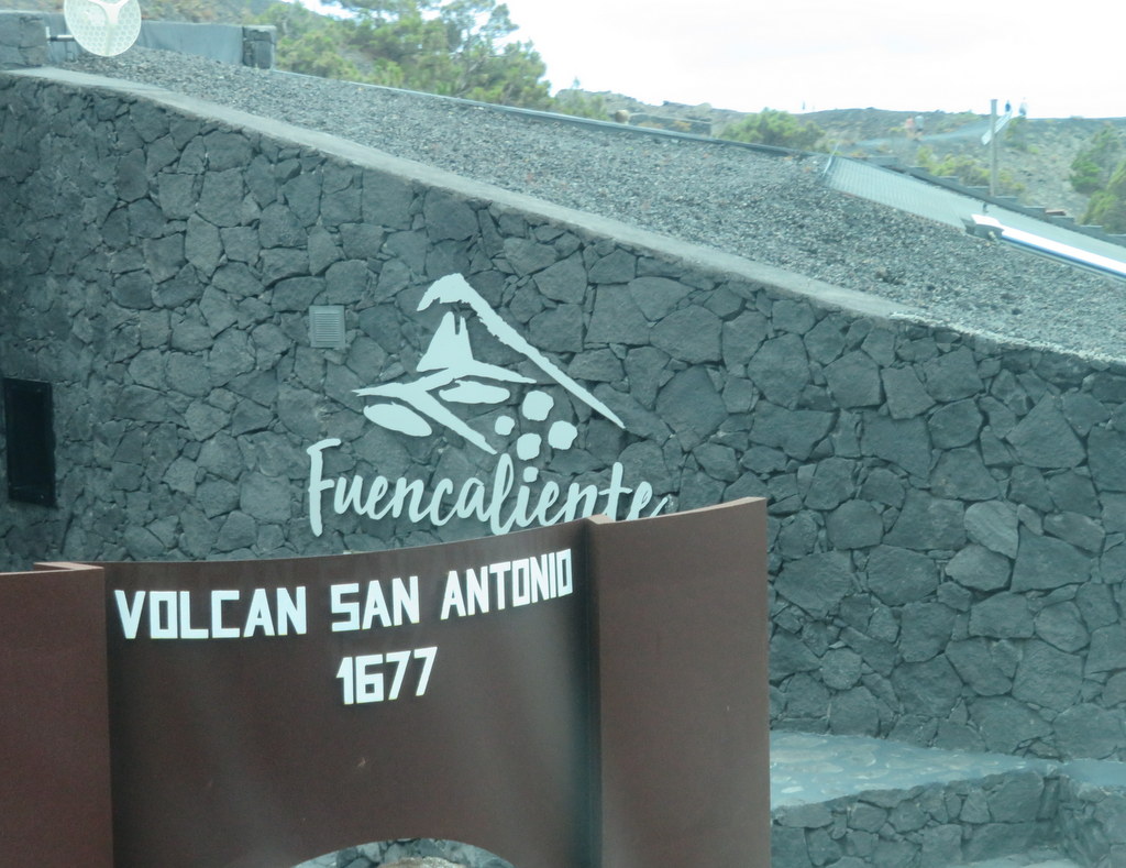
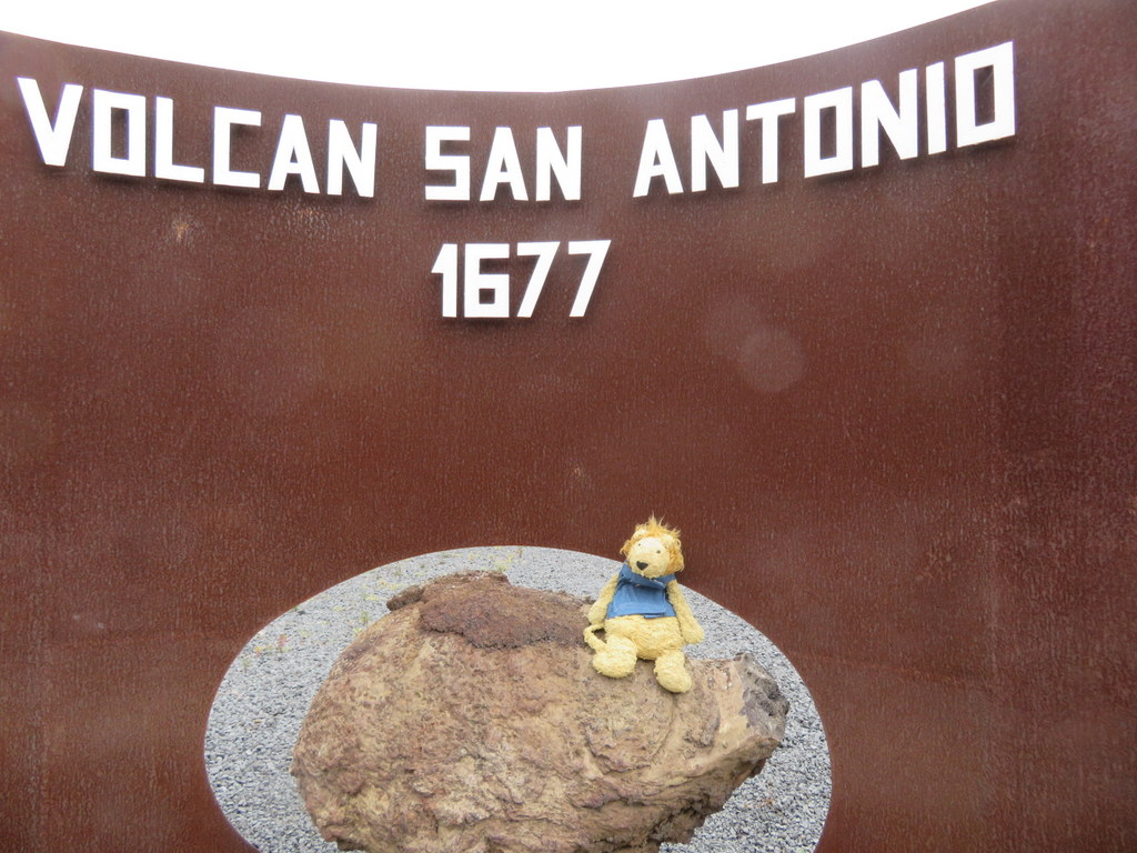
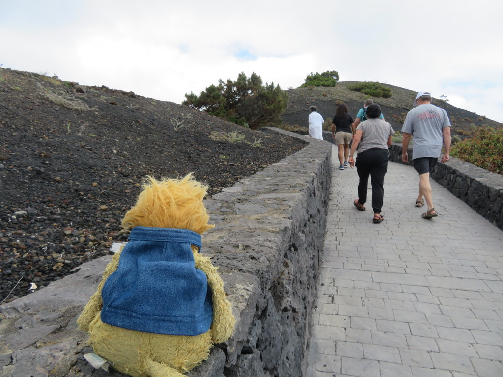
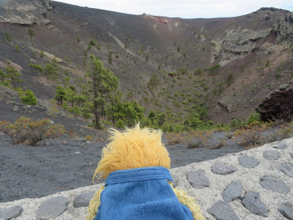
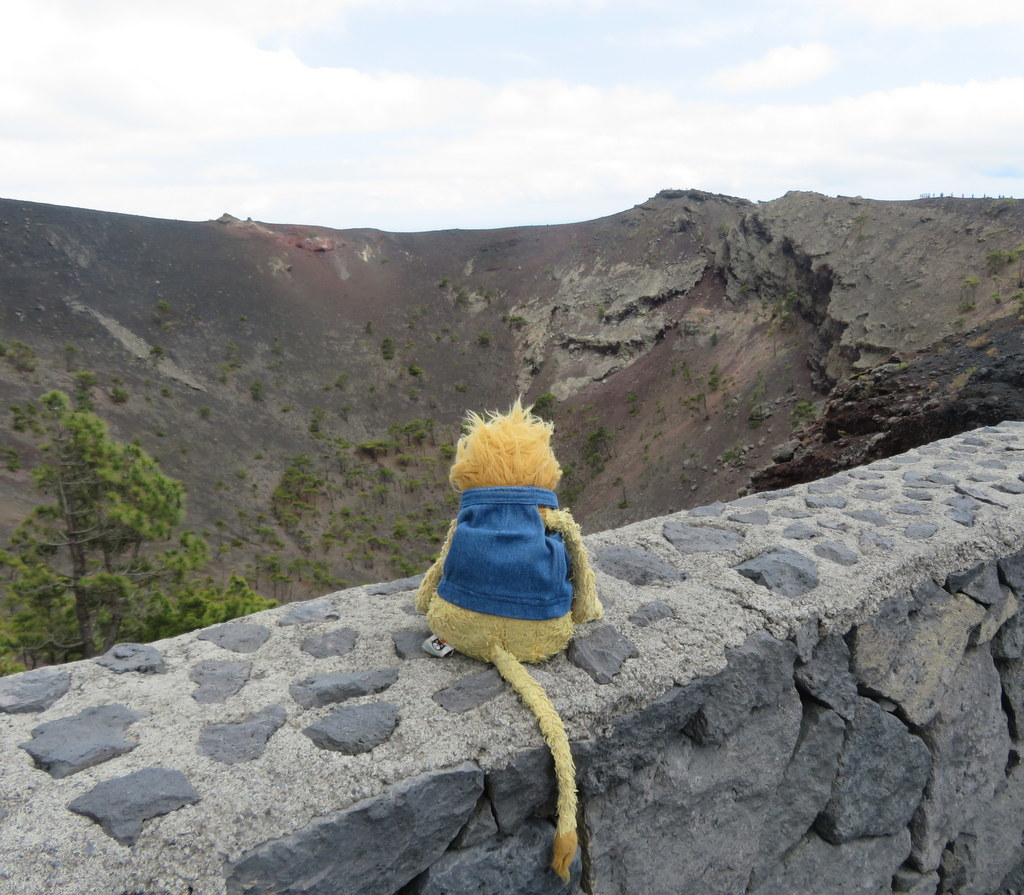
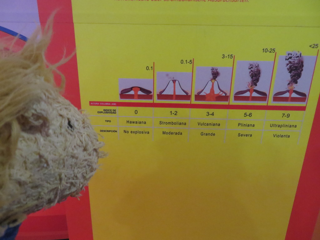
I made friends with a Canary Island pine before I tried the earthquake simulator. It jiggled me around, but it didn’t feel like the earthquake that happened when I was in Japan! Our guide talked about “friendly” volcanoes with lava that flowed slowly. That’s the kind most of the La Palma volcanic eruptions have been.
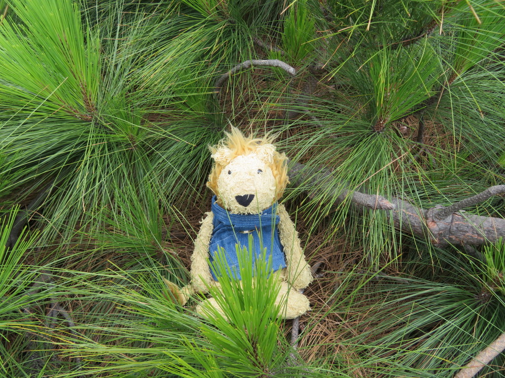
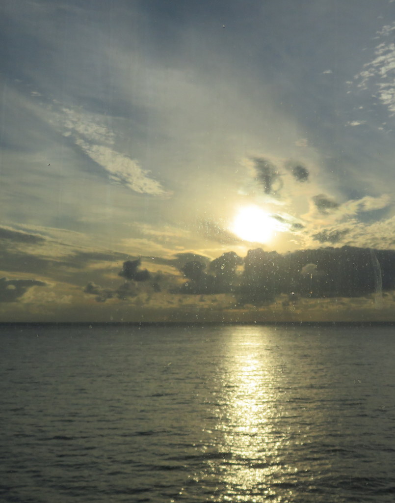
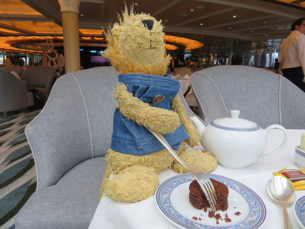
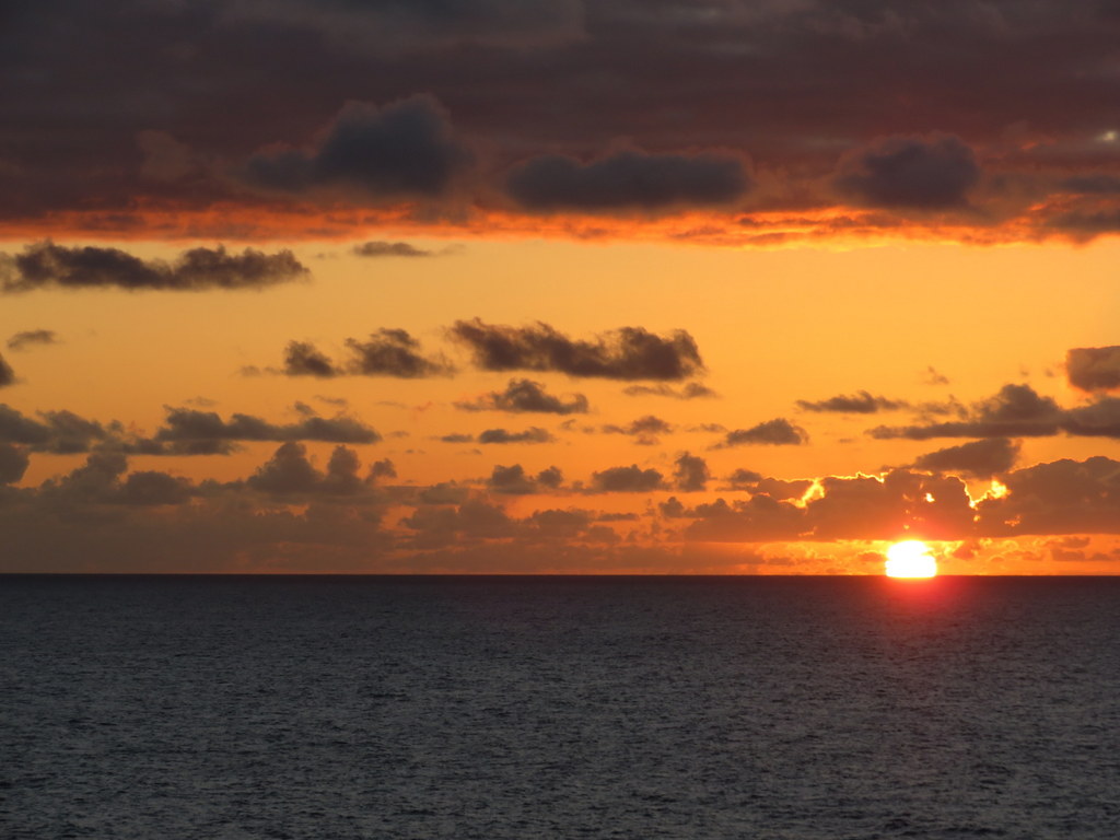
We got back to MS Marina in time for tea! There was another pretty sunset.
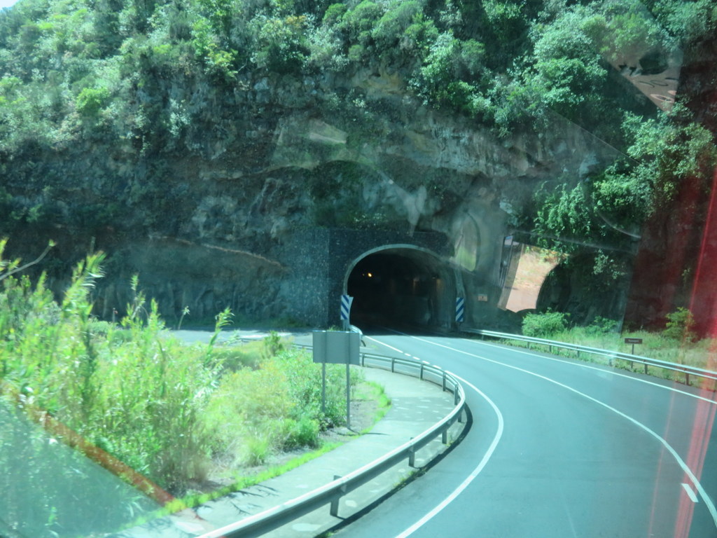
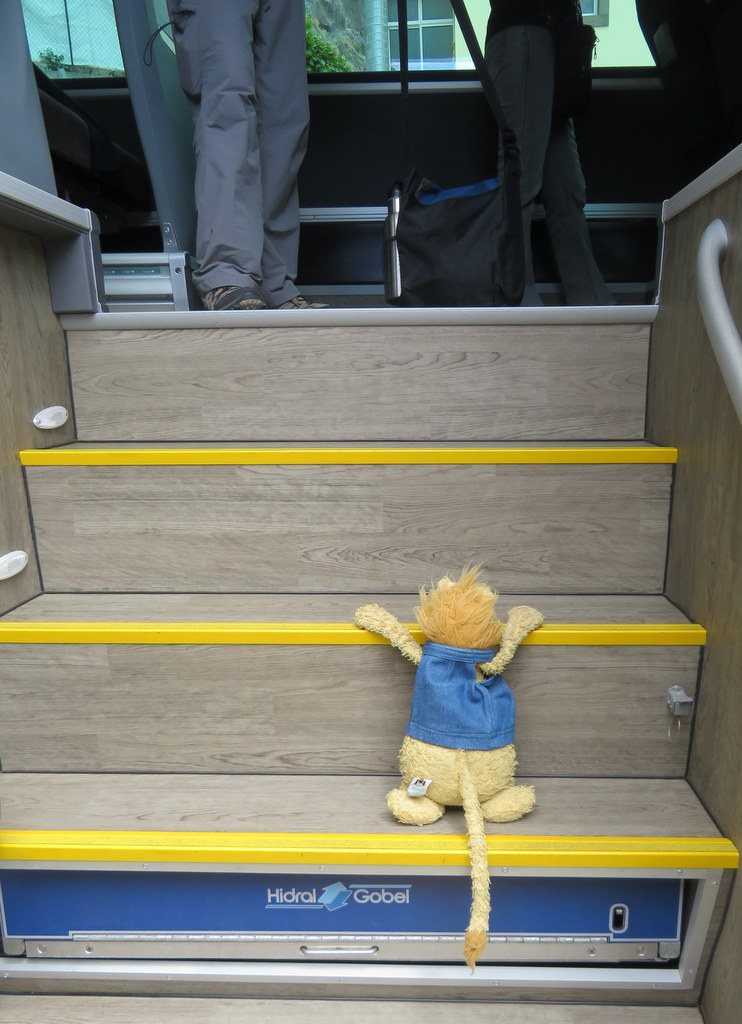
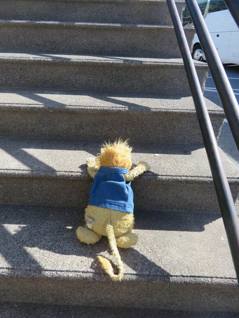
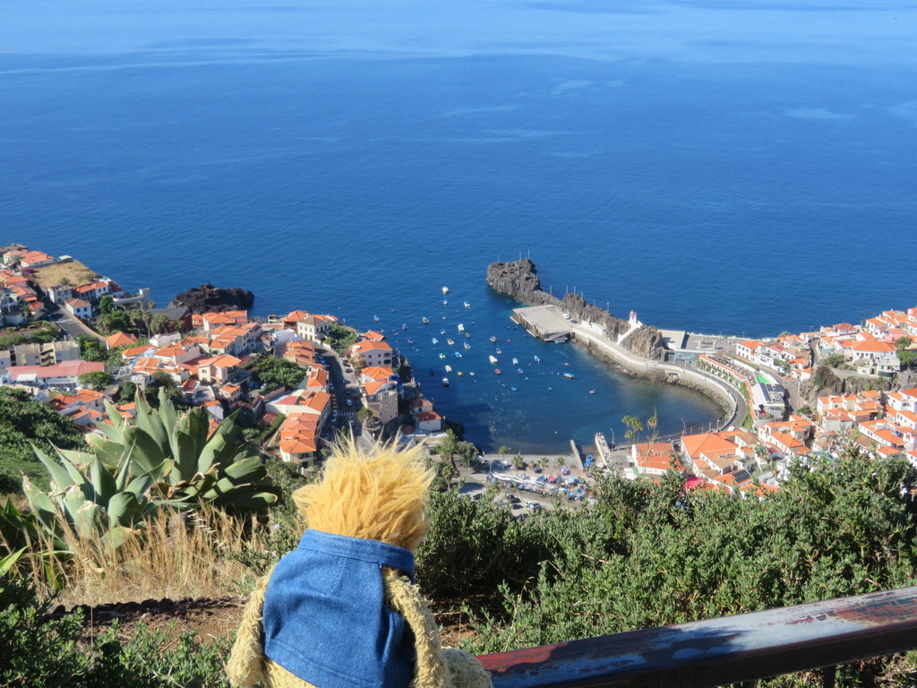
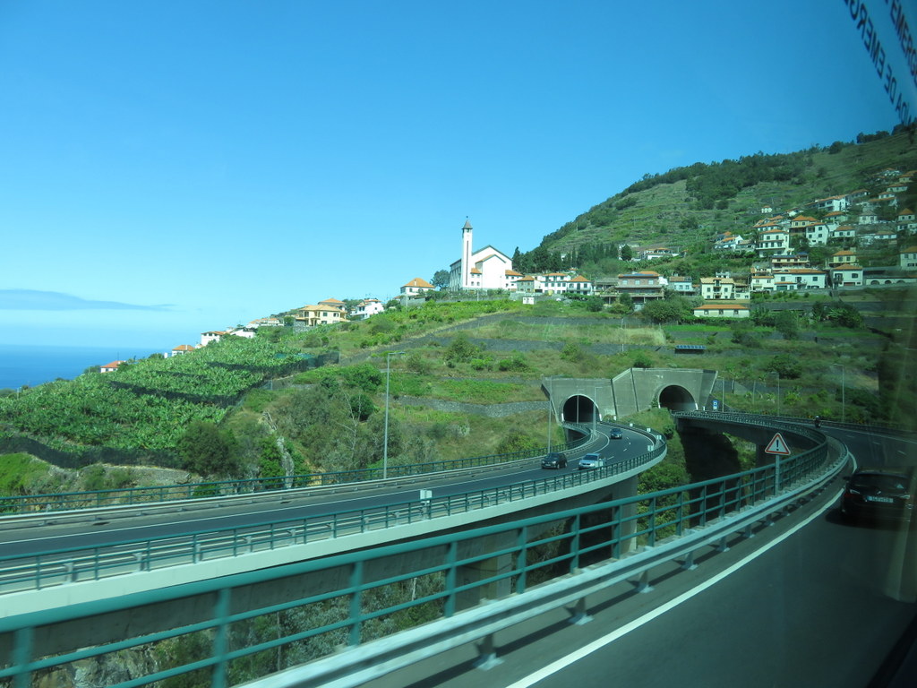
Yesterday we were on the Portuguese island of Madeira. Madeira is even steeper than the Canary islands we visited! There are mountains right down to the sea! Most towns on the shore are connected by tunnels through the cliffs between them! After I got on the tour bus, I had more steps to climb at the first stop! It was an observation point above Camara de Lobo. That’s a fishing village named for the local monk seals! I was hoping to see one, but they stay on the uninhabited islands offshore.
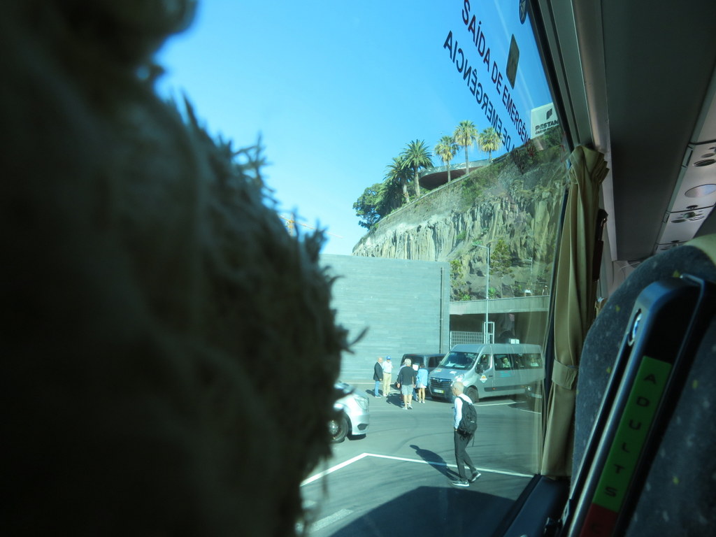
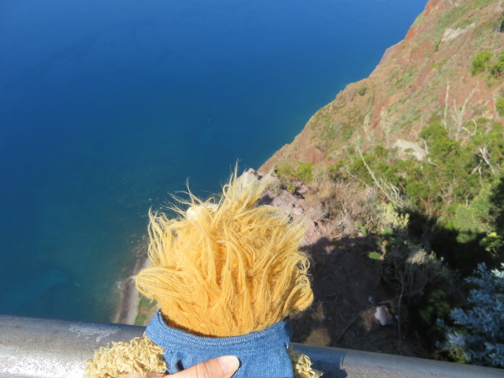
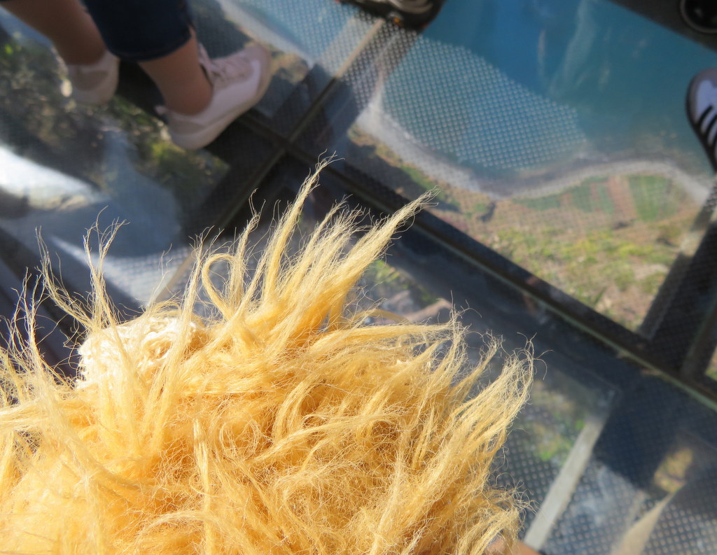
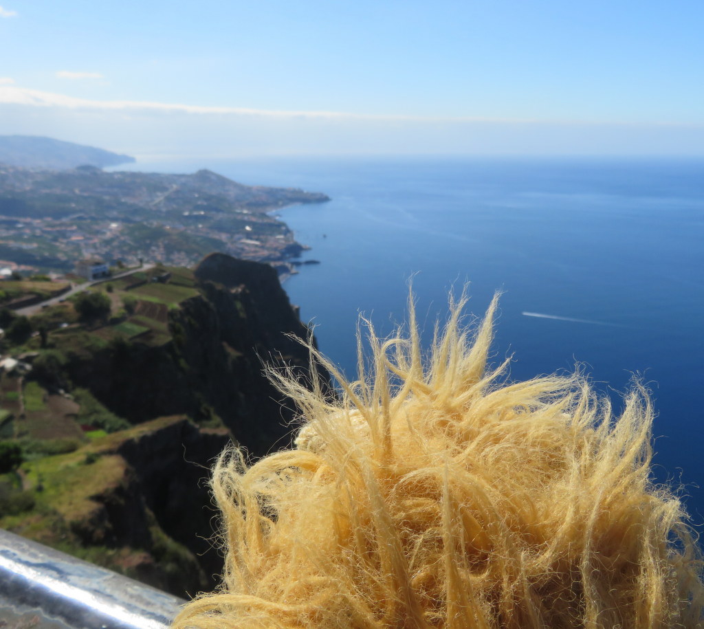
We went from that observation point to a skywalk on top of the tallest cliff in Europe! It was a long way down!
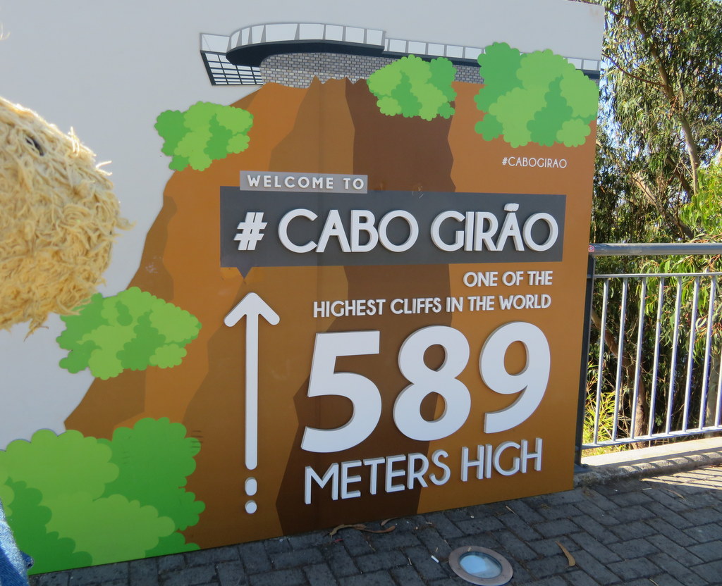
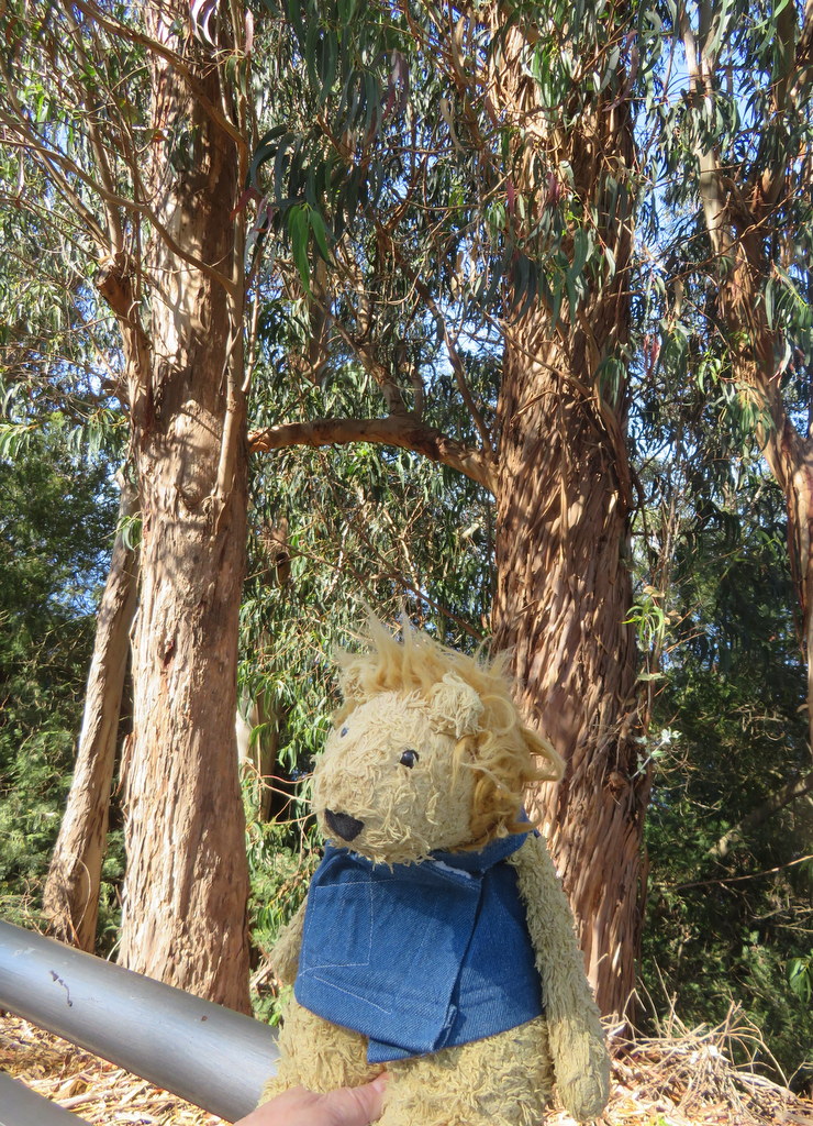
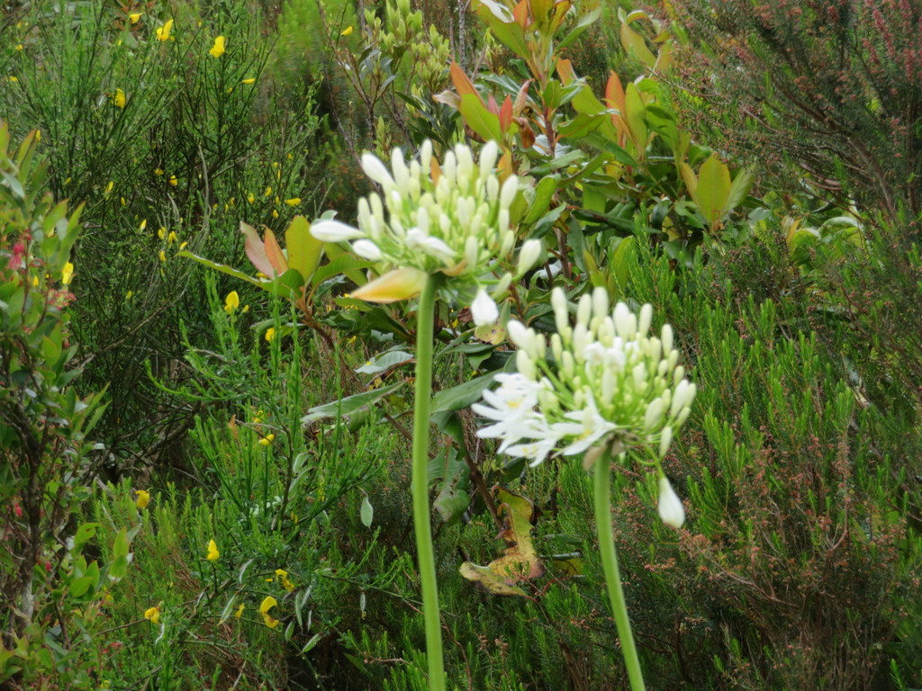
Our tour was along the west coast of Madeira. First, we headed north, into the mountains. We stopped at a place where — when it’s clear — you can see both coasts of Madeira from the same spot. By the time we got there the clouds were rolling in, just like in the Kalalau Valley on Kauai! There were lots of tunnels on the roads, and lots of purple and white African lilies growing wild.
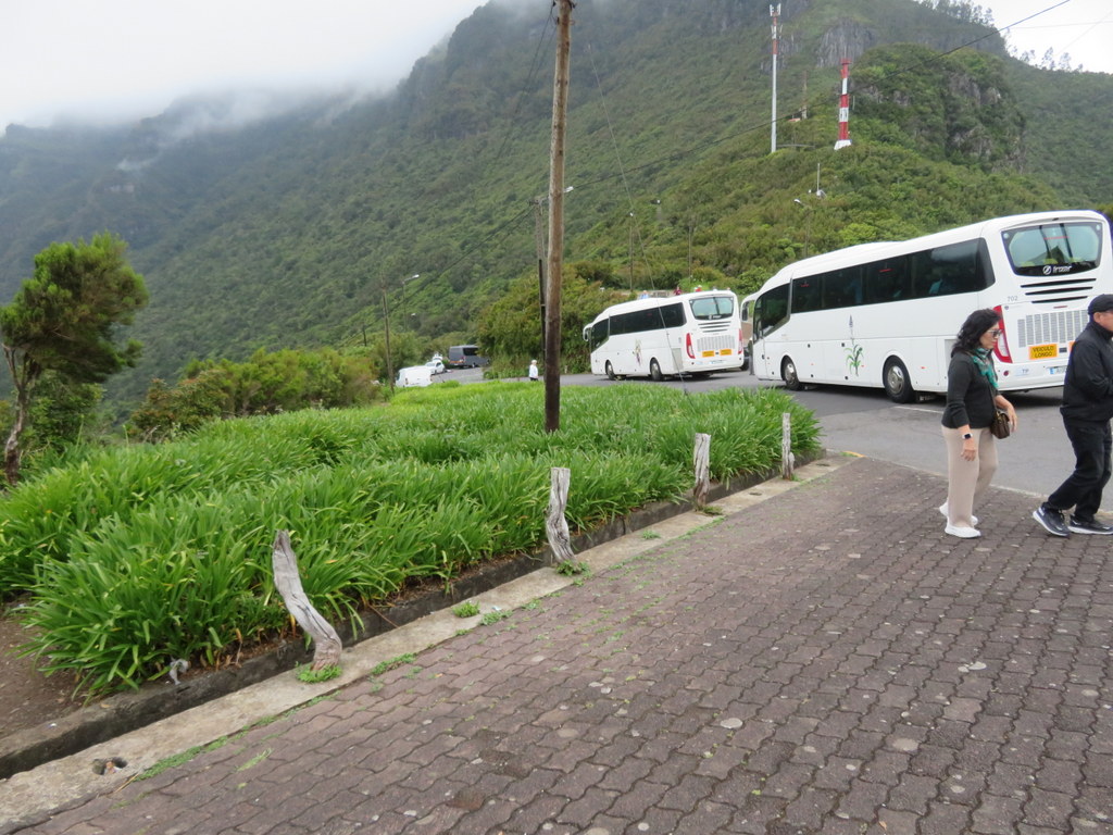
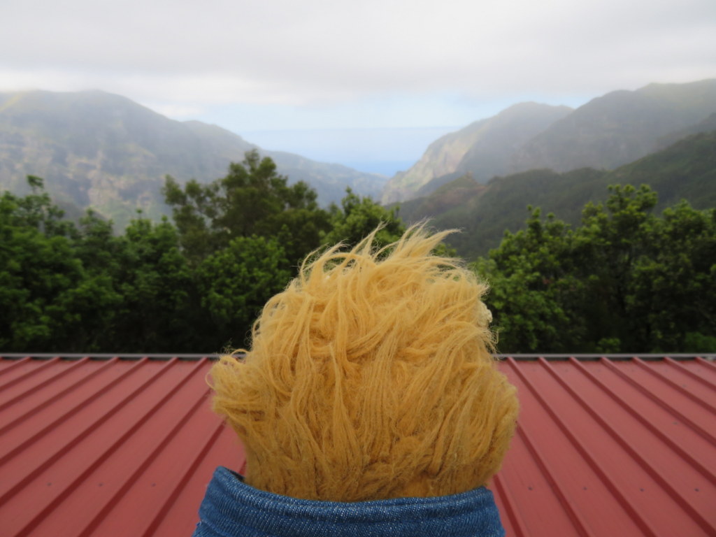
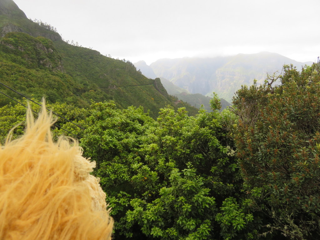
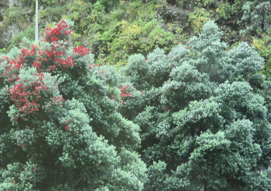
On our way back to the coast, we saw some pohutukawa trees in bloom! Our guide said they were a gift from New Zealand. We had a lunch stop in Porto Moniz, on the coast. The lava there has created natural pools for swimming! That’s a good thing, because the surf crashes into lava and there’s no beach!
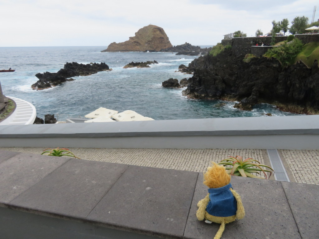
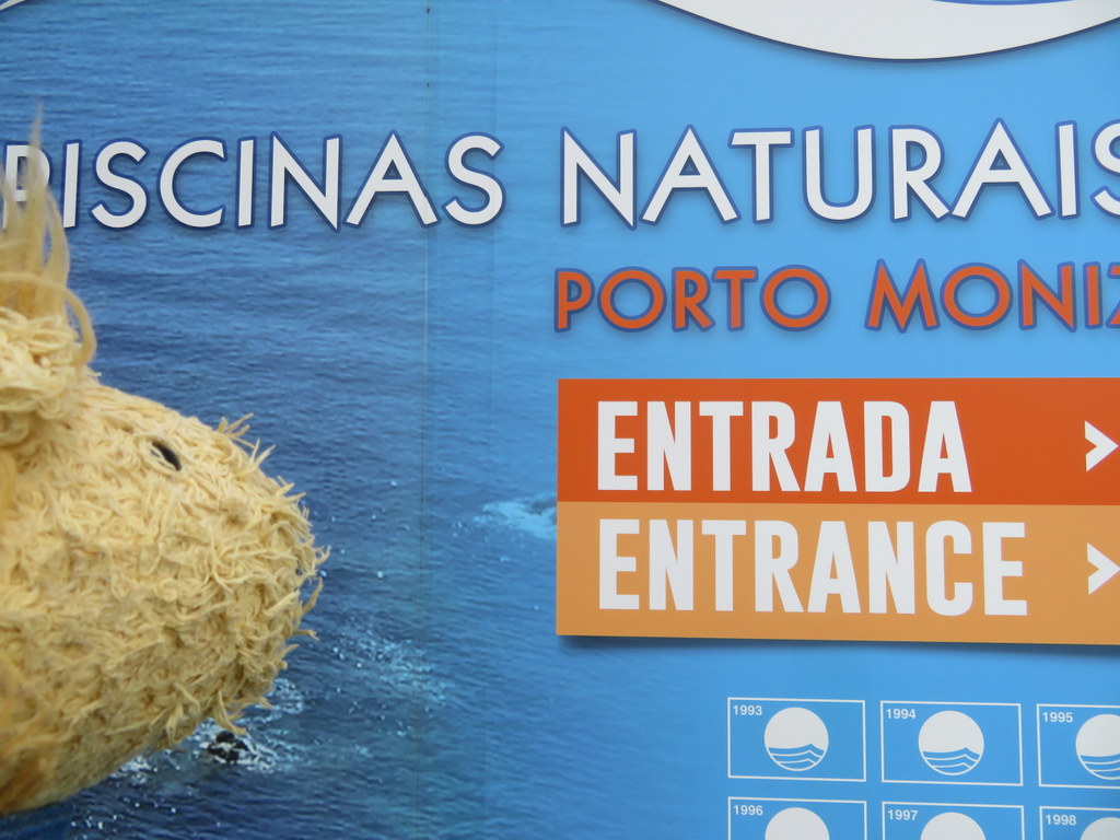
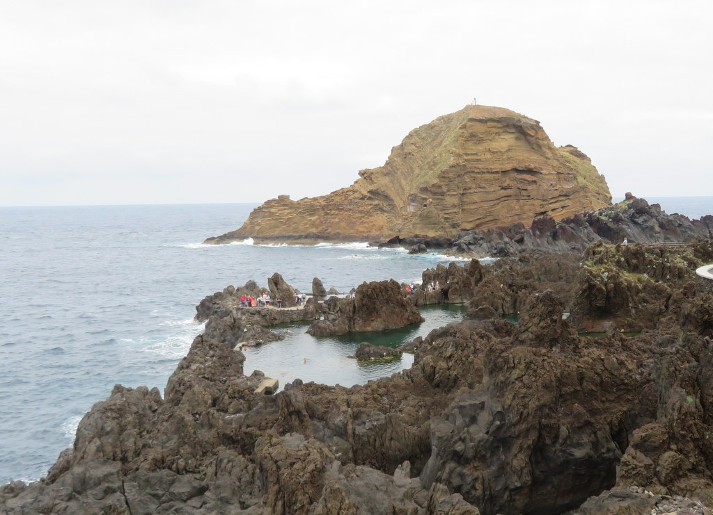
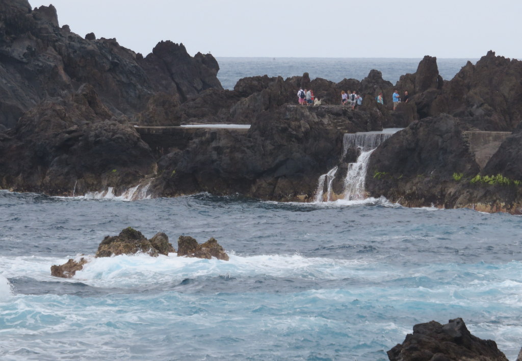
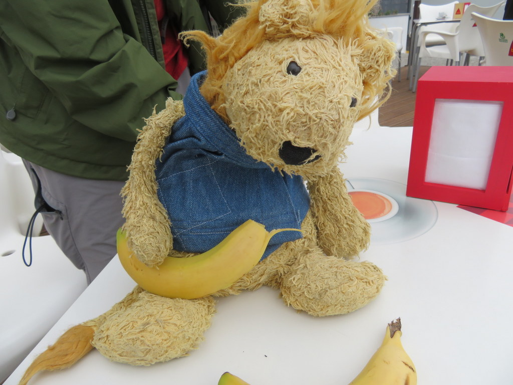
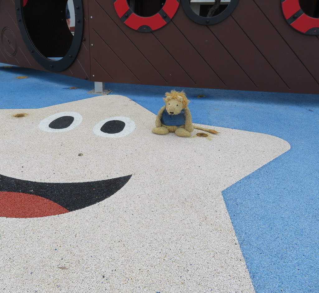
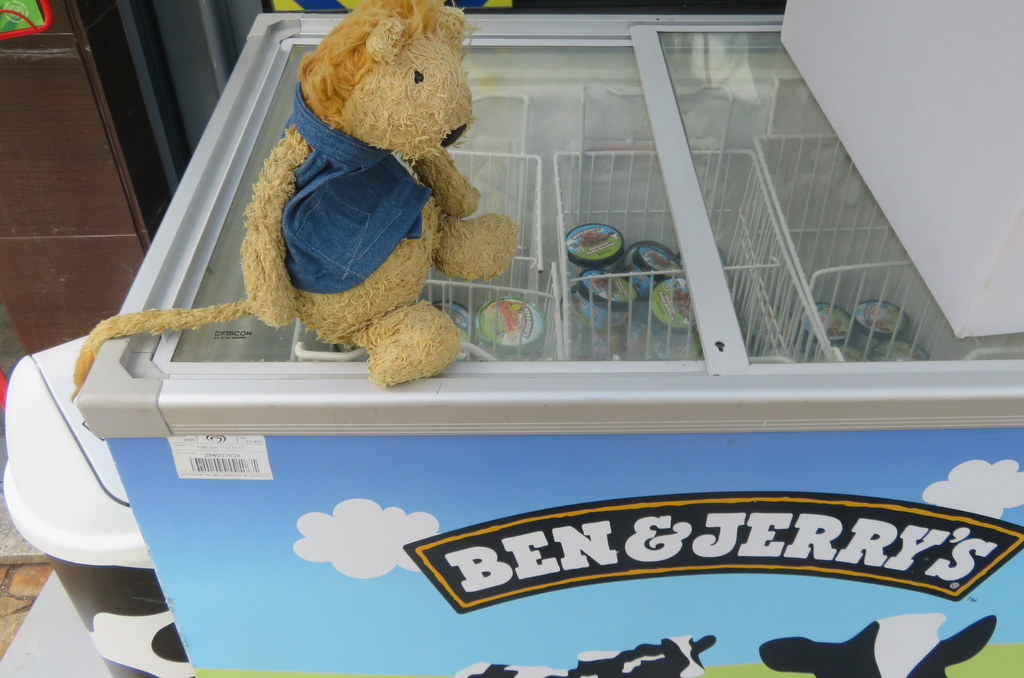
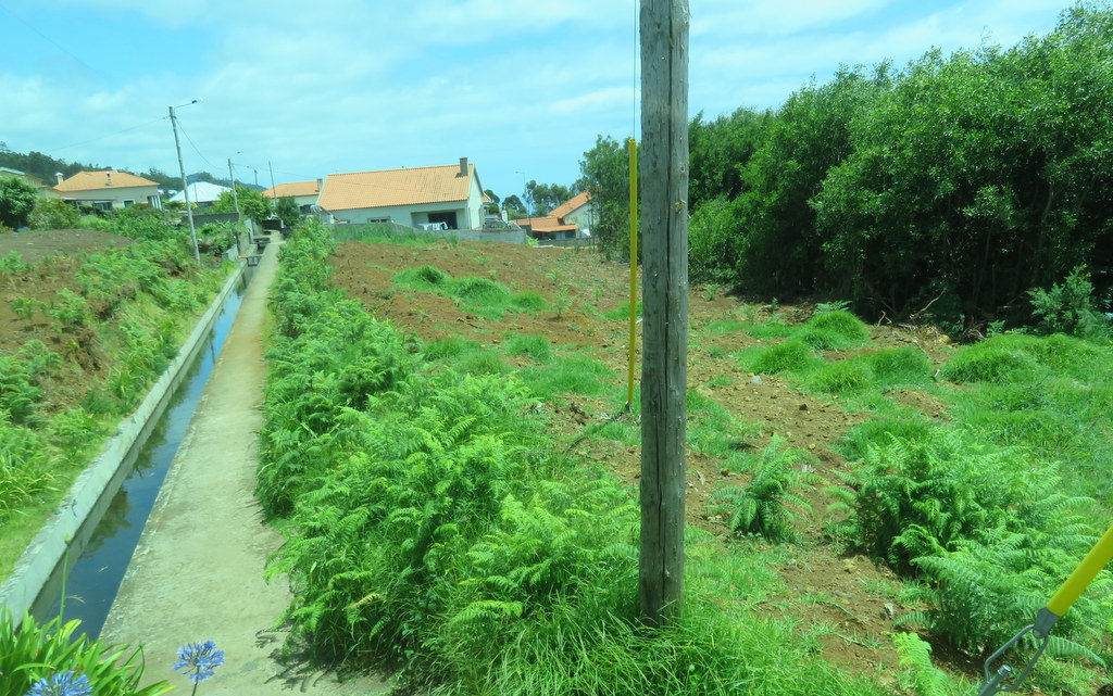
We decided to have local bananas for lunch. They weren’t quite like Hawaiian apple bananas, but they tasted good. I visited the playground on the shoreline. Guess what? There was Ben and Jerry’s ice cream at the snack shop! On the way out of town, I could see one of the water channels that brings water down from the mountains to irrigate crops. The channels bringing drinking water are covered.
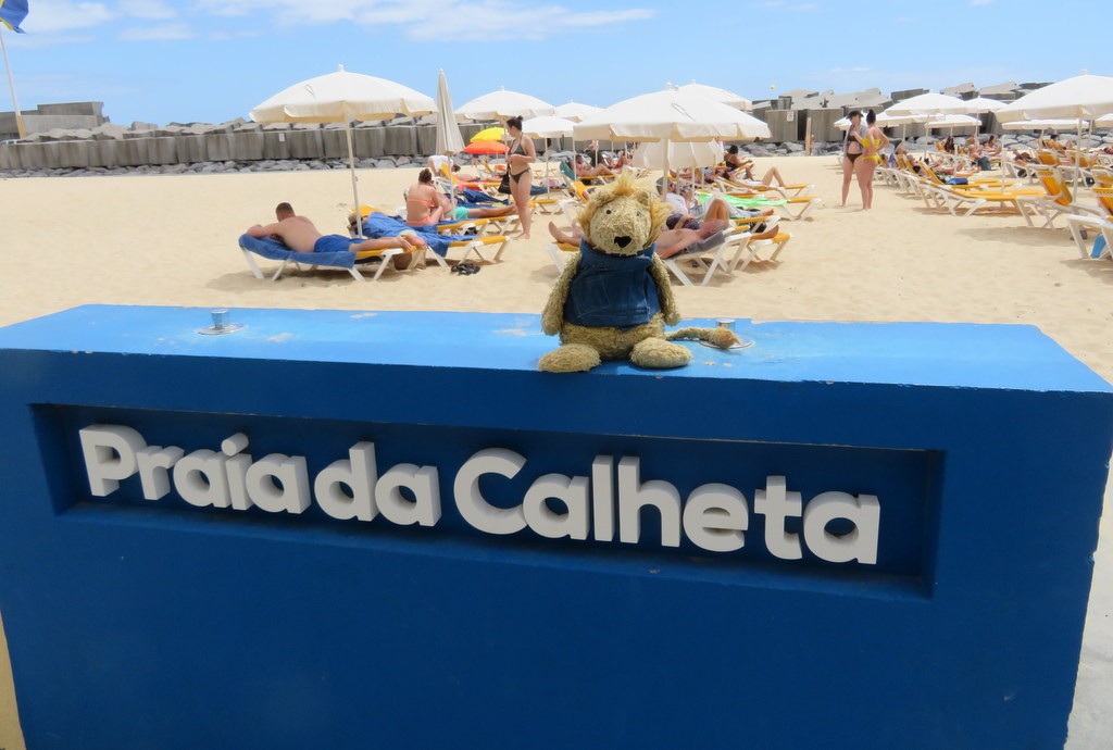
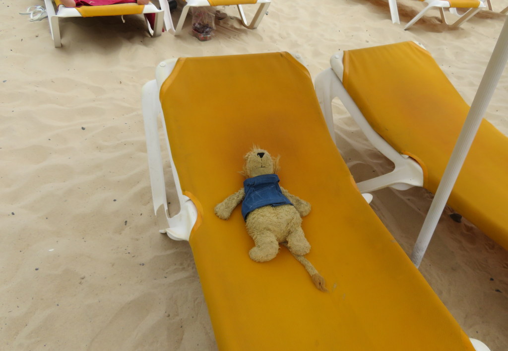
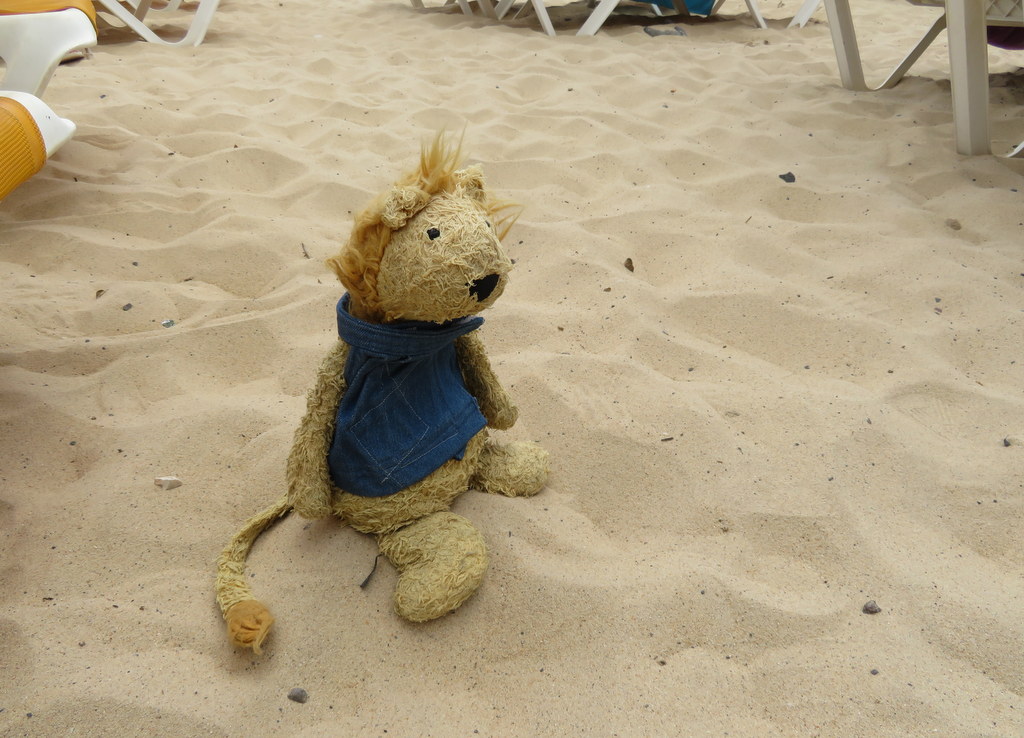
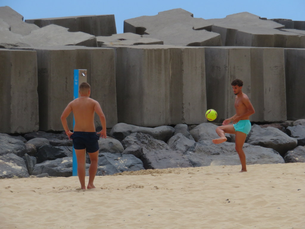
We had one more stop, as we headed south again. Calheta has a real beach! The sand came from Morocco. I tried lounging in the sun and sat in the sand. It was fun watching a sand soccer game!
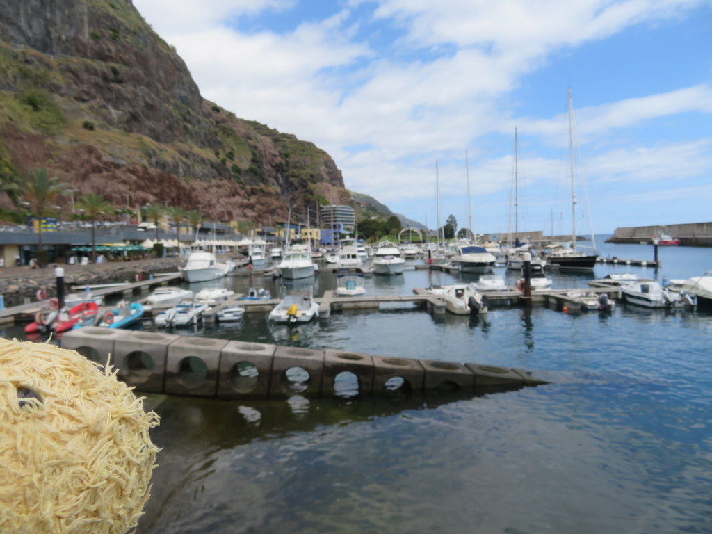
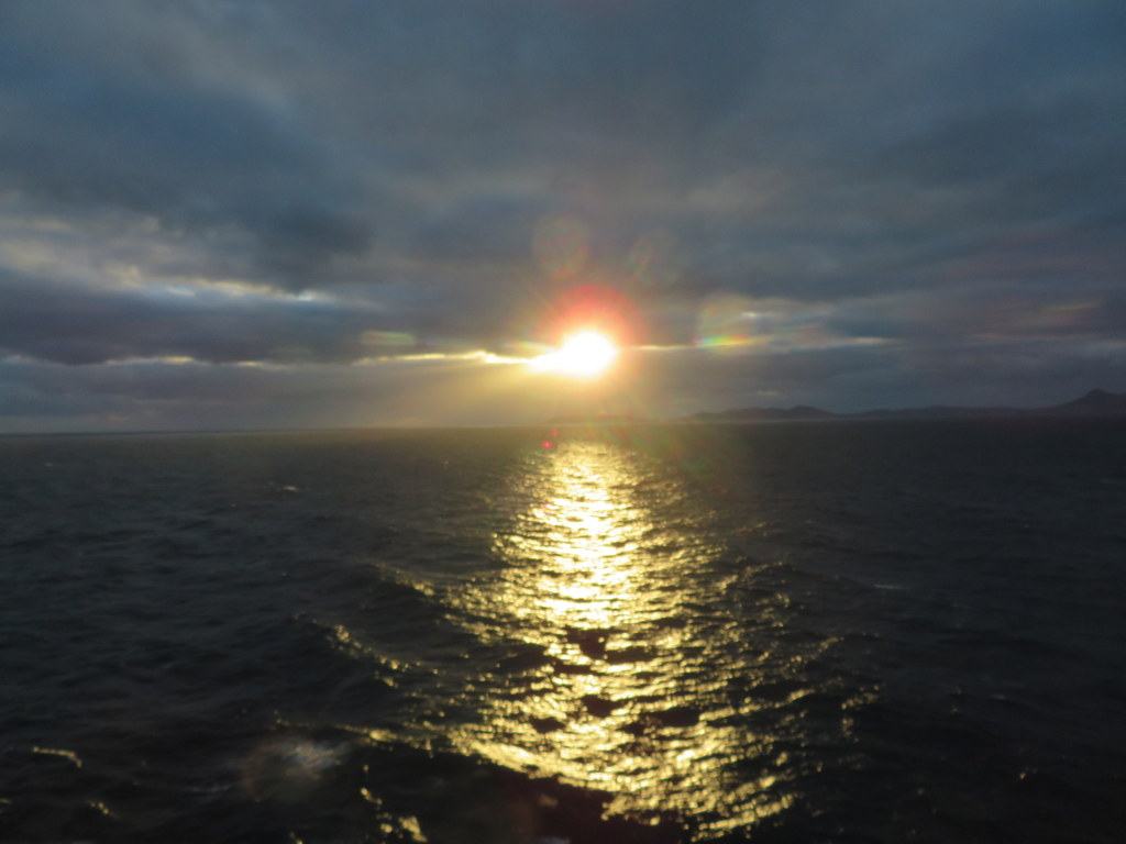
Last night there was a clouded sunset. Today we’ve been sailing all day toward out final destination, Lisbon Portugal. Our cruise is almost over!
Love,
Lion-san

That was a lot of Aloe plants!
pohutakawa is a lovely name for a tree! You were lucky to see some in bloom. I googled and when all those trees are blossoming, it must be really spectacular.
Happy rest of your cruise.